Cadastral Surveys

Licensed cadastral survey services for property boundary definition, subdivision, and title creation across residential, rural, and urban development projects.
Talk to Us
This is some text inside of a div block.

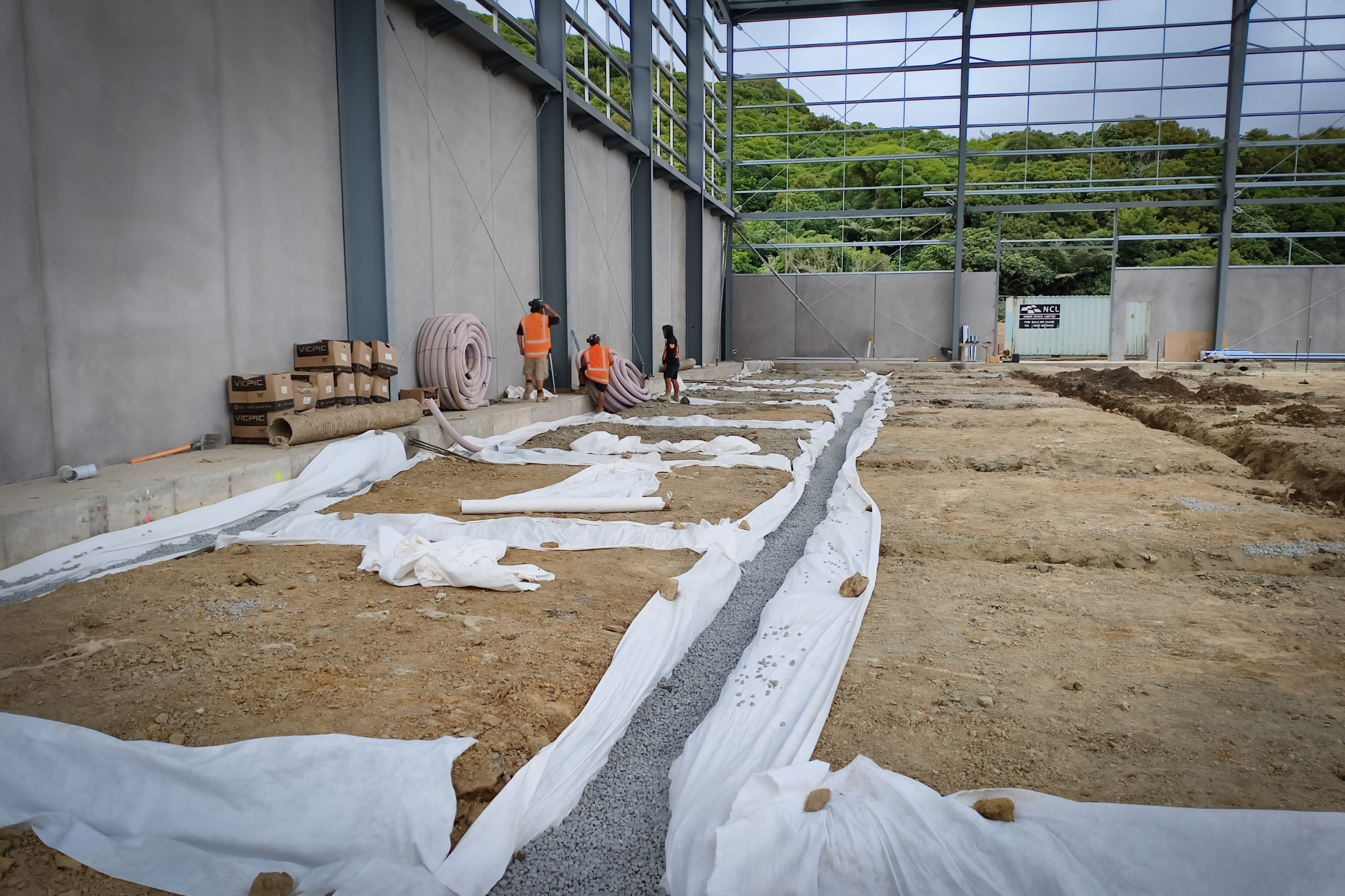
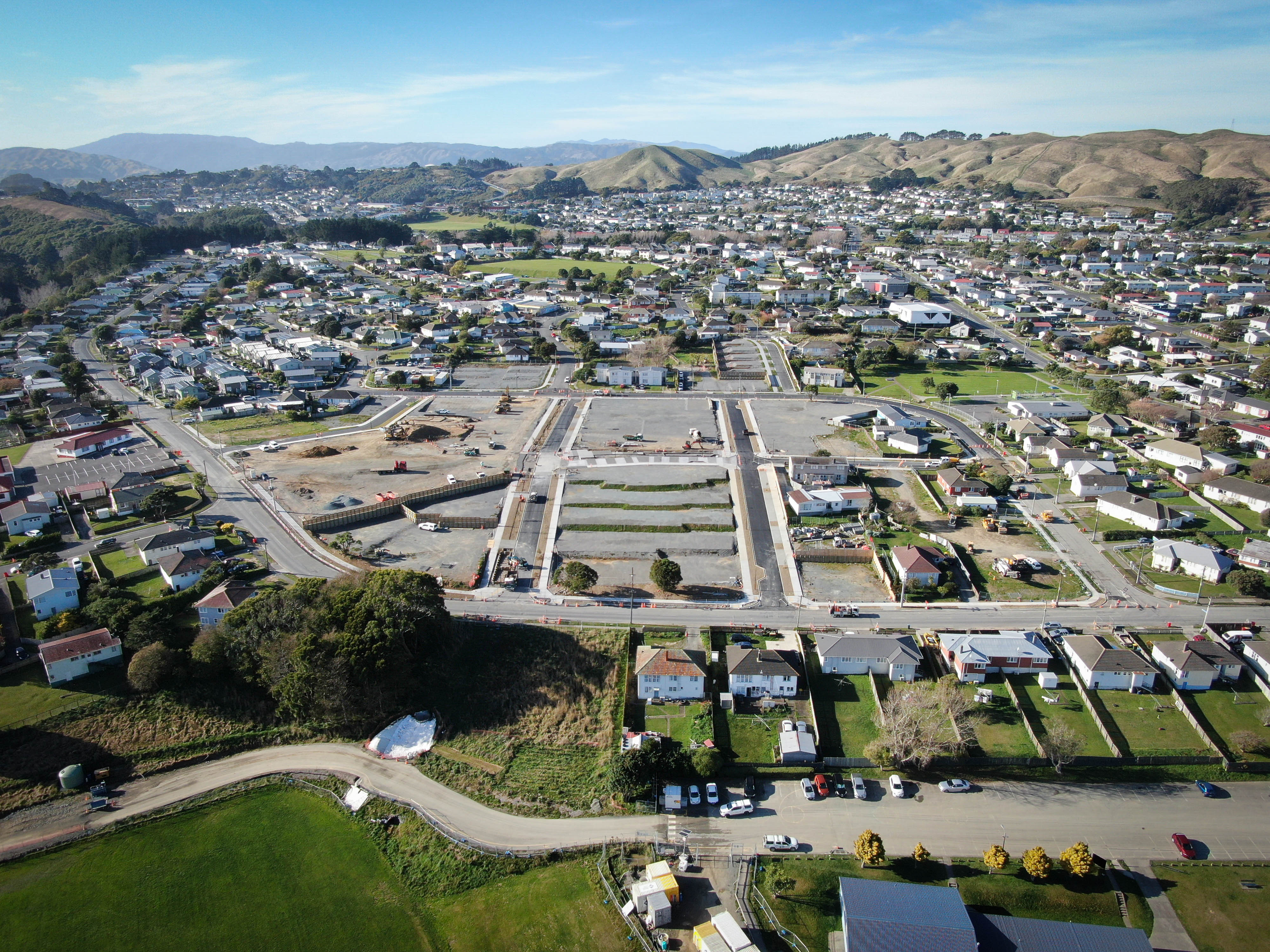
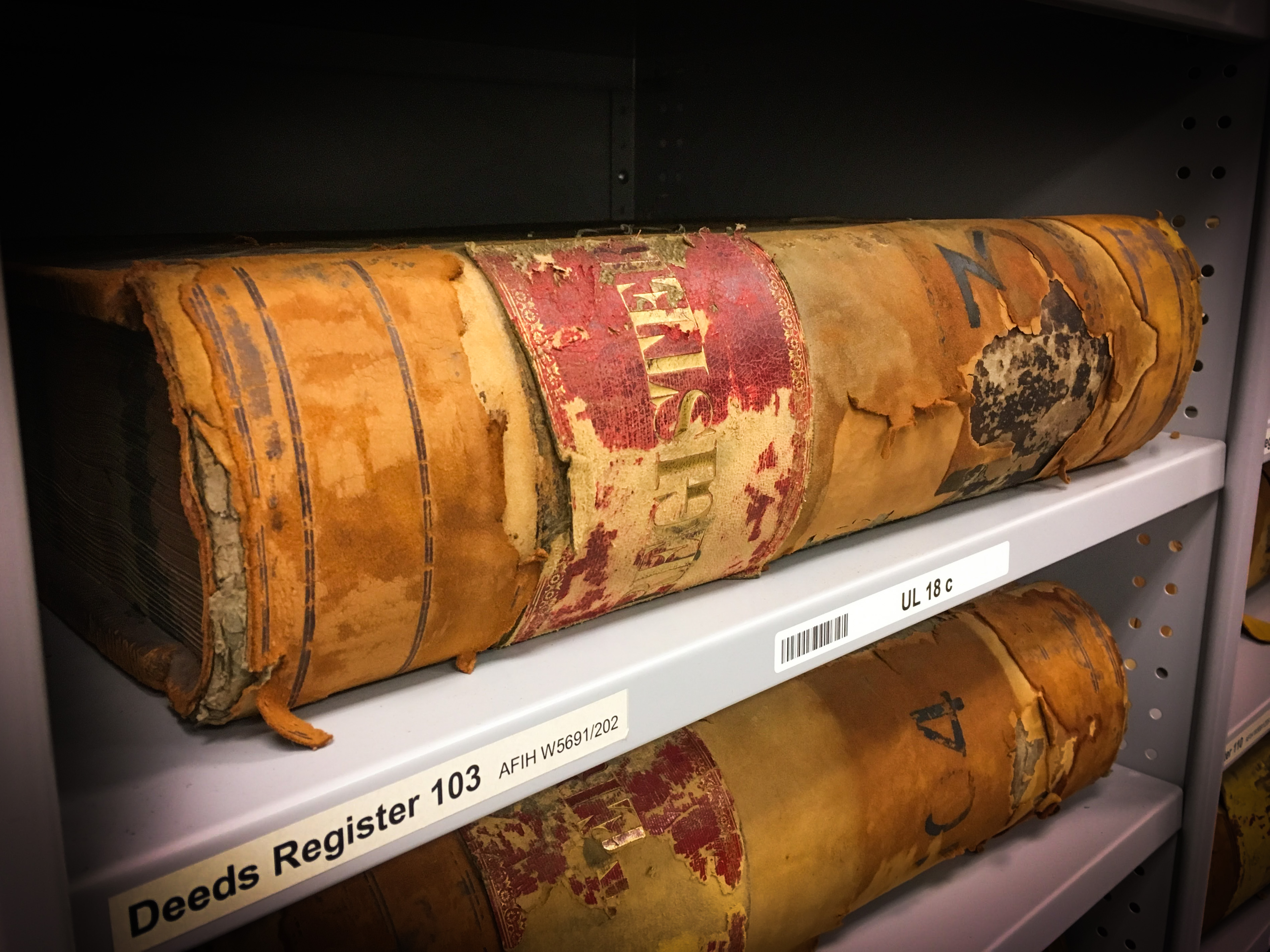
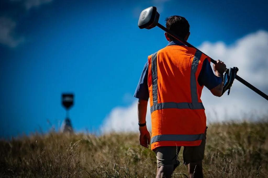
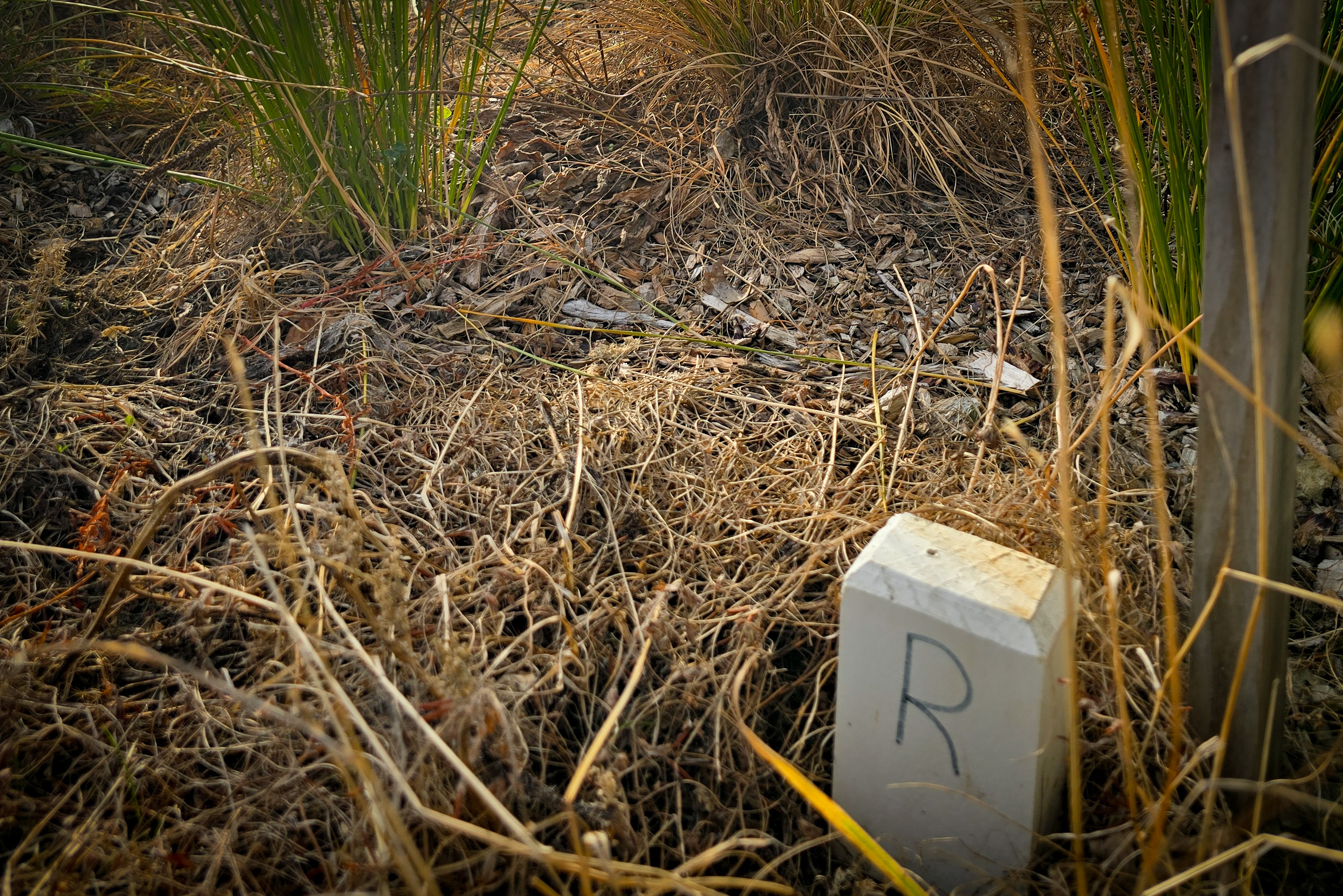
Cadastral surveys define and mark property boundaries. They are legally required for creating new land titles, adjusting existing boundaries, and registering easements or covenants.

All our cadastral work is led by Licensed Cadastral Surveyors. We ensure every boundary is correct and every survey dataset meets Land Information New Zealand (LINZ) requirements. We liaise directly with councils and LINZ to smooth out approvals and prevent delays whether you're subdividing land or clarifying an old boundary. When the legal landscape is complex, we find the clearest path through it.

IMG 8654

More about
Cadastral Surveys
Client feedback
"Orogen rate a particular mention; their responsiveness, attention to detail and collaboration is reflected in the quality of work put forward."
Kevin Beaver, General Manager - Woodridge Homes.
Cadastral Surveys

FAQ

Every site is different and there can be a lot of moving parts, but the questions are often the same. Here's what clients ask us most.
Talk to Us
What is a cadastral survey?

A cadastral survey defines, marks, and records legal boundaries. In New Zealand, cadastral surveys are carried out under the Cadastral Survey Act 2002 and all work must be lodged with LINZ for approval before any survey is approved. This is the foundational survey work behind any redefinition, subdivision, boundary adjustment, or title creation.

When do I need a cadastral survey?

You need a cadastral survey any time you want to ground mark an existing property boundary, create a new title, adjust an existing boundary, register an easement over land, or formally legalise a road or reserve. If you are planning a subdivision, a boundary adjustment, or a unit title development, cadastral survey work will be part of the process.

What is the difference between a cadastral survey and a topographic survey?

A cadastral survey deals with legal boundaries and creates or modifies survey and title records. A topographic survey captures the physical features of a site, such as contours, buildings, and services. The two are often done together on development projects, but they serve different purposes and the cadastral component must be carried out by, or under the direction of, a Licensed Cadastral Surveyor.

What does the cadastral survey process involve from start to finish?

Orogen starts by searching existing title and survey records, then carries out fieldwork to locate existing survey marks. We prepare a survey plan showing the new boundaries or title structure, obtain sign-off from any relevant parties,usually Council, and lodge the survey with LINZ for approval. Once LINZ approves the plan, the information is used by your solicitor to register the new titles.

How long does it take to get titles registered after a cadastral survey?

After Orogen lodges the survey plan, LINZ processing typically takes two to six weeks for straightforward surveys. Complex surveys or those with objections can take longer. We monitor the lodgement and keep you updated so there are no surprises. Once LINZ approves the plan, your solicitor handles the title registration through the Titles Office at LINZ.

Does Orogen work directly with LINZ on survey lodgements?

Yes. As Licensed Cadastral Surveyors, we prepare and lodge survey plans directly with LINZ using the Landonline system. We manage the lodgement process and respond to any LINZ requisitions on your behalf, which keeps the process moving without additional burden on you.

Can Orogen carry out cadastral surveys for large-scale projects as well as small ones?

Yes. Our team works across the full scale of cadastral work, from a single boundary adjustment on a residential property through to staged multi-hundred-lot subdivisions. We have the systems and resources to manage complex, multi-stage projects and keep the survey programme aligned with your construction and consenting timetable.

New lots, new titles, no loose ends. - Get in touch.
Contact Us