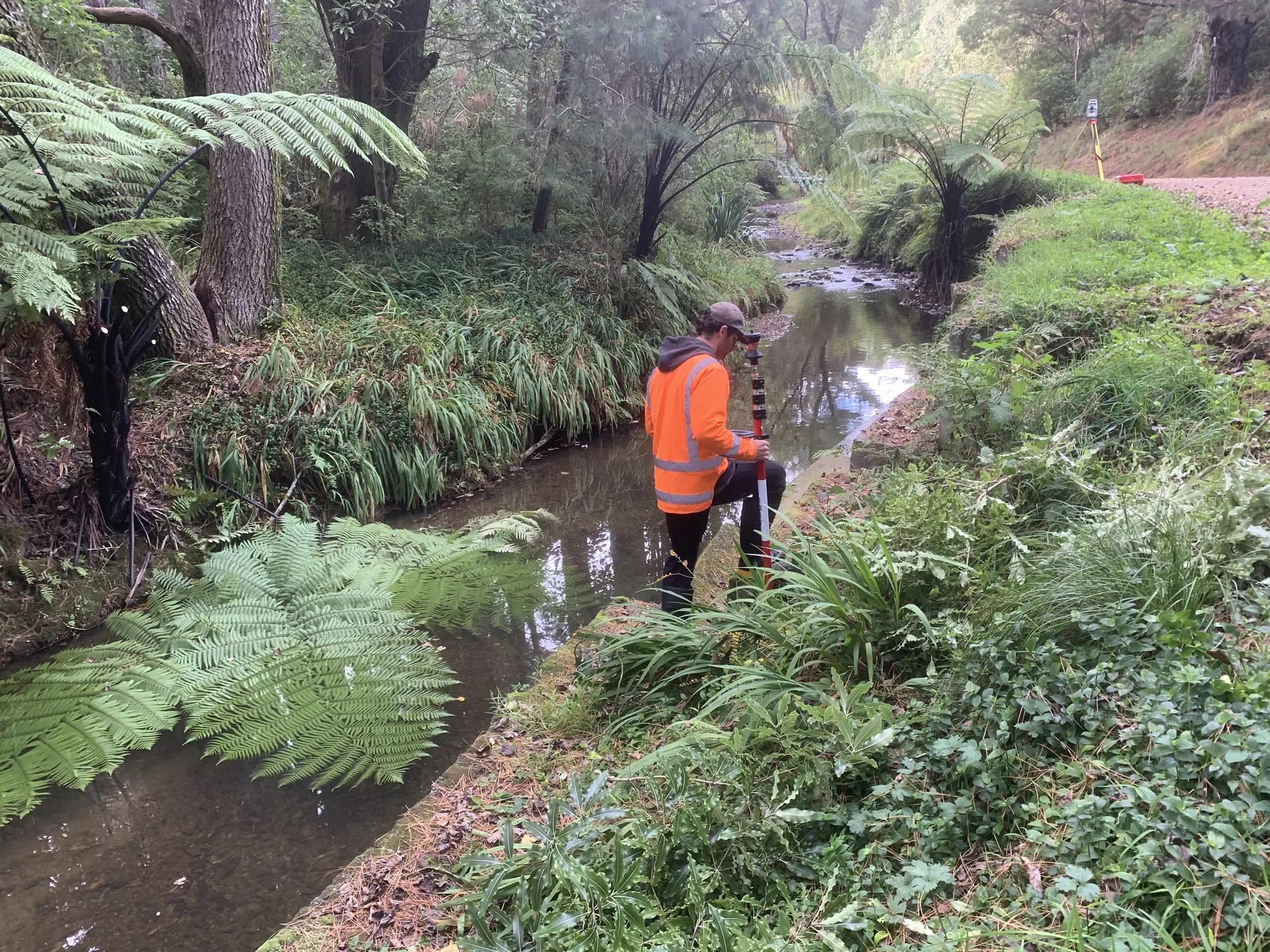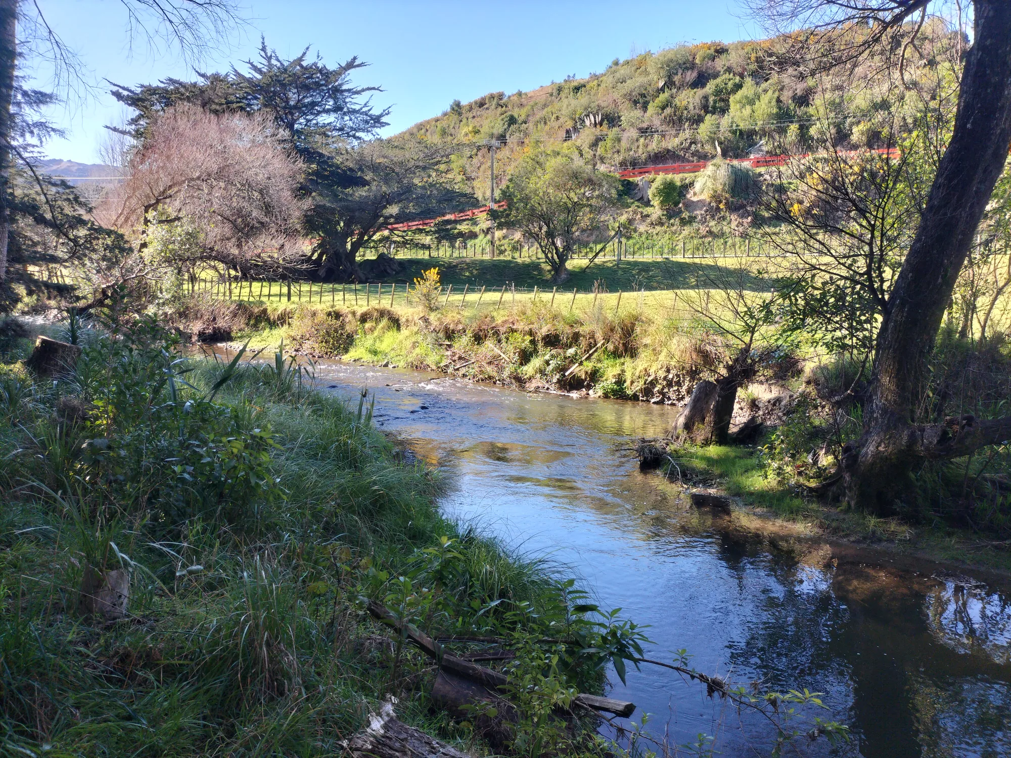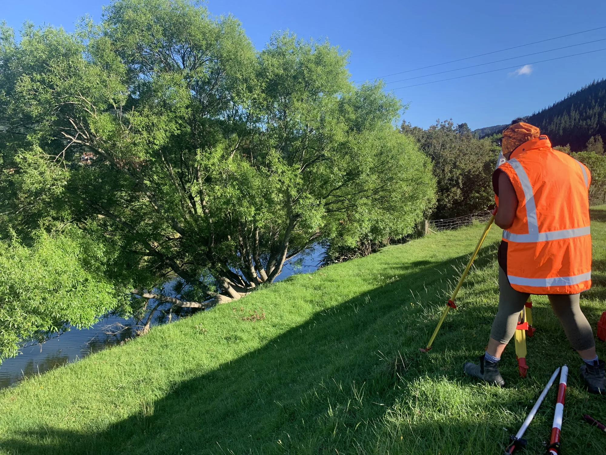
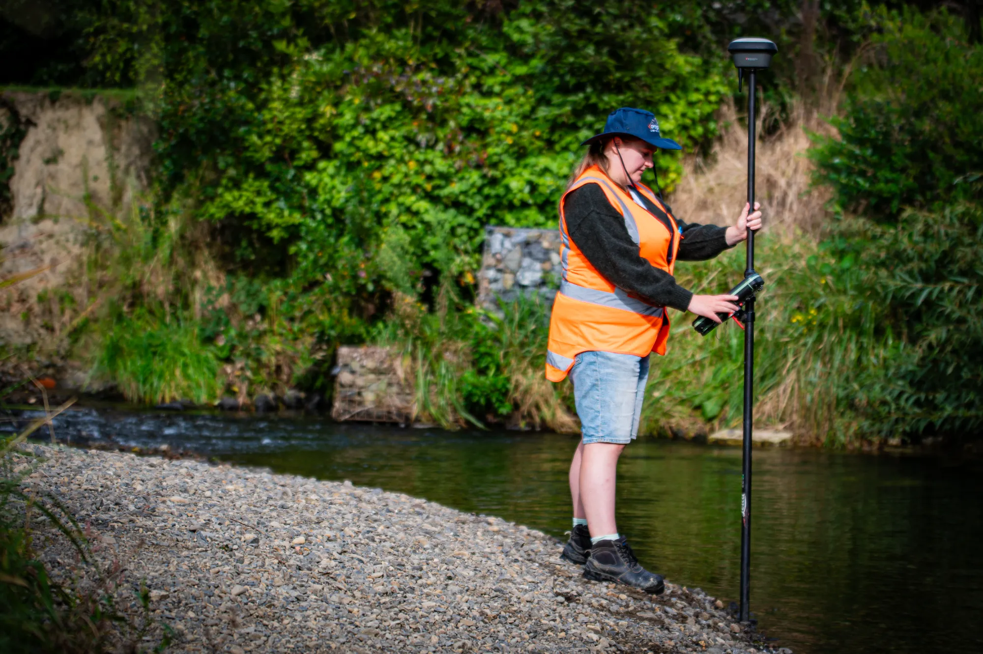
When a property adjoins a river, stream, or coastal area, the boundary is defined by the water's edge and that edge can move over time. A water boundary survey establishes the legal position of that boundary using accepted survey practices for rivers, streams, and coastal sites.
Water boundaries are treated specially in New Zealand law. If a watercourse is altered through erosion, accretion, or artificial works the boundary may or may not shift with it, depending on the circumstances. Uncertainty about a water boundary can block development, affect sale values, and create legal exposure. The only path to clarity is a formal survey.
We determine water boundary positions using accepted practice: for coastal sites, we locate the Mean High-Water Springs (MHWS) line; for rivers and streams, we survey the current banks in line with the relevant legal rules. We have particular experience along coastal Wellington and Kāpiti, where properties extend to the beach and shifting shorelines create real title uncertainty. We navigate the legal framework around accretion and erosion not always straightforward and give you a defined, defensible position on the title.