Surveying

Cadastral, topographic, setout, and as-built surveying services for land development and construction, led by Licensed Cadastral Surveyors and experienced field teams.
Talk to Us
This is some text inside of a div block.

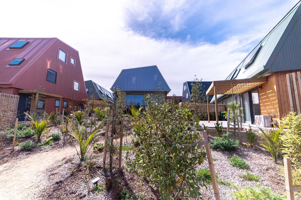
Surveying forms the foundation of every successful land development project. Before you can design, build, or subdivide with confidence, you need to know exactly what you are working with  -  where your boundaries lie, what the terrain looks like, and whether your structure will land in the right place. Accurate surveying eliminates uncertainty early and prevents costly mistakes at every stage that follows.

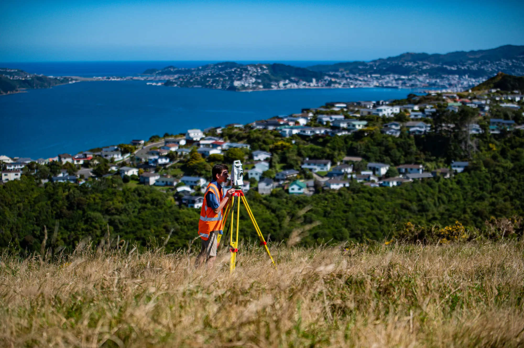
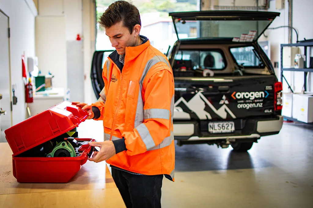
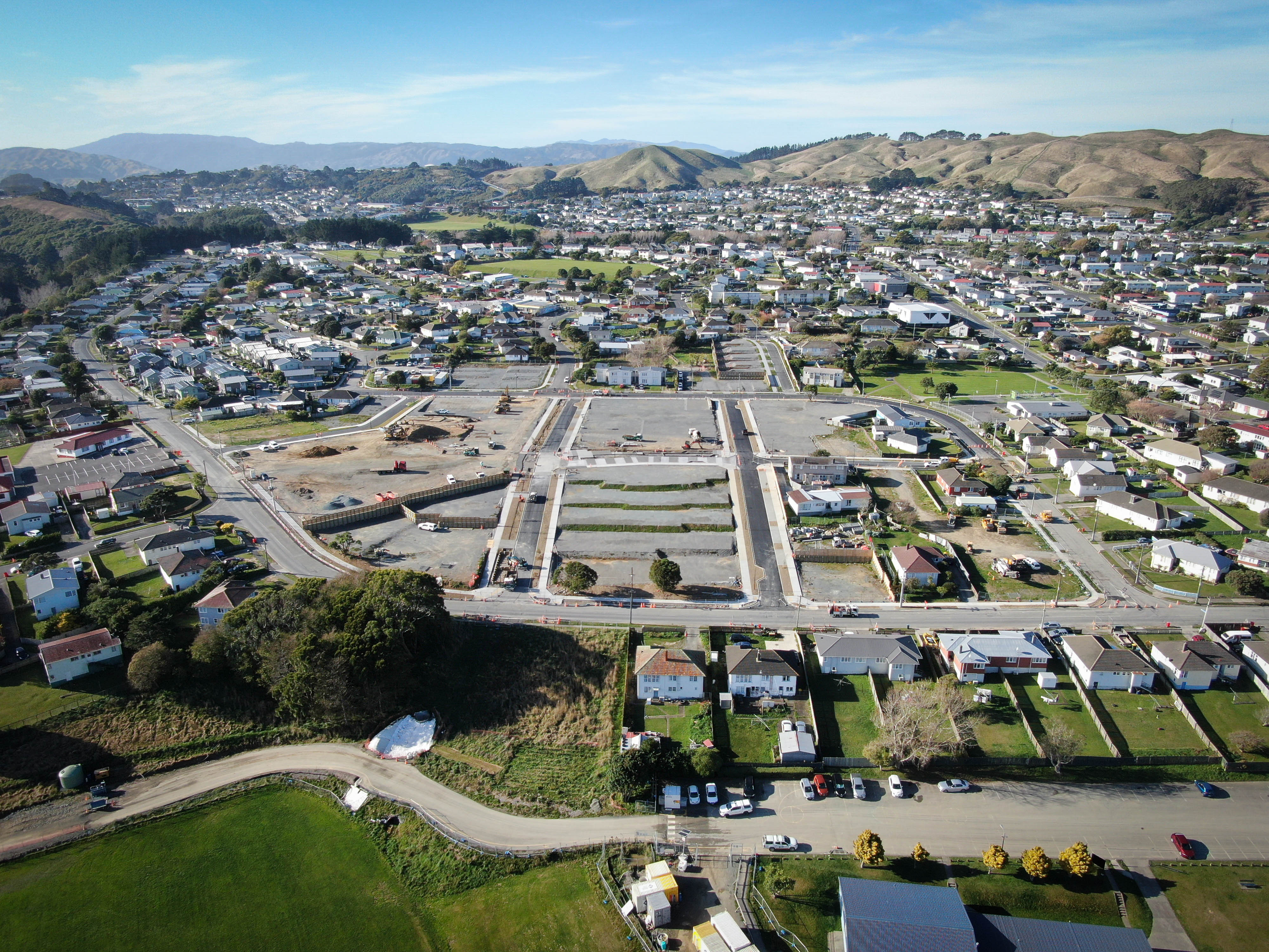
Orogen's surveying team brings decades of experience across Wellington, Kāpiti, and Manawatū. All our cadastral work is led by Licensed Cadastral Surveyors  -  certified professionals who ensure every boundary is correct and every dataset meets Land Information New Zealand (LINZ) requirements. We liaise directly with councils and LINZ to smooth out approvals and prevent delays, whether you are subdividing land for the first time or resolving an old boundary uncertainty. Because surveying is fully integrated with our engineering and planning teams, data is consistent from site measurement through to survey approval -  reducing rework, accelerating approvals, and keeping your project on track.

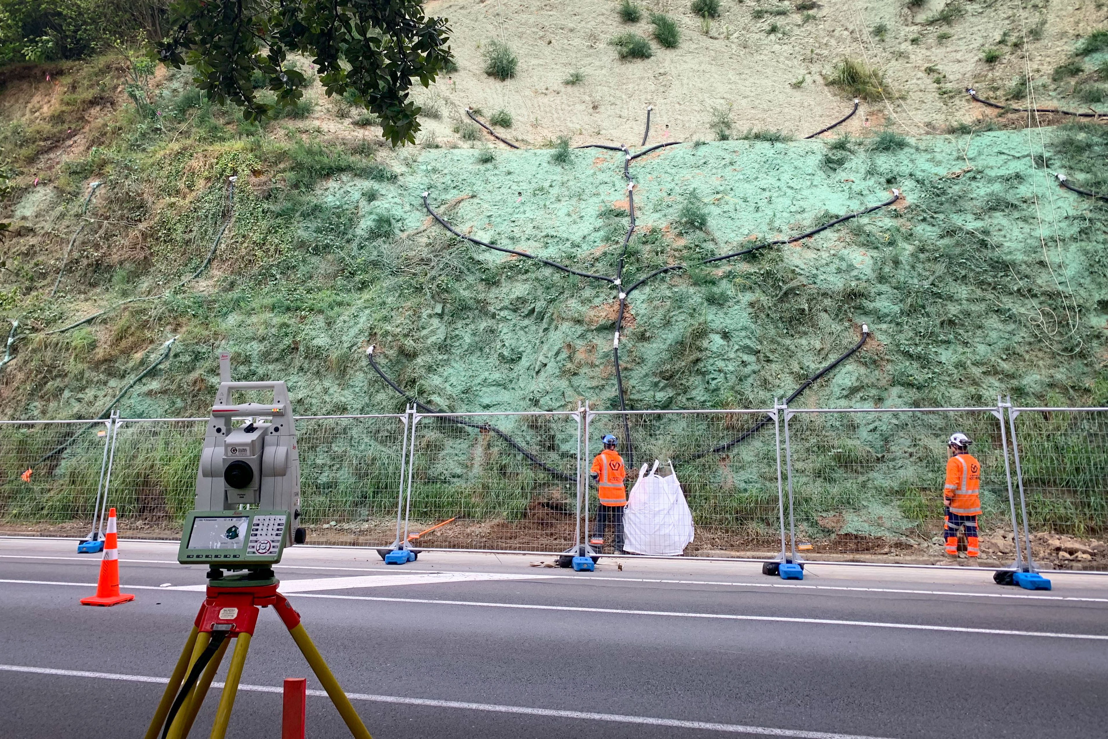
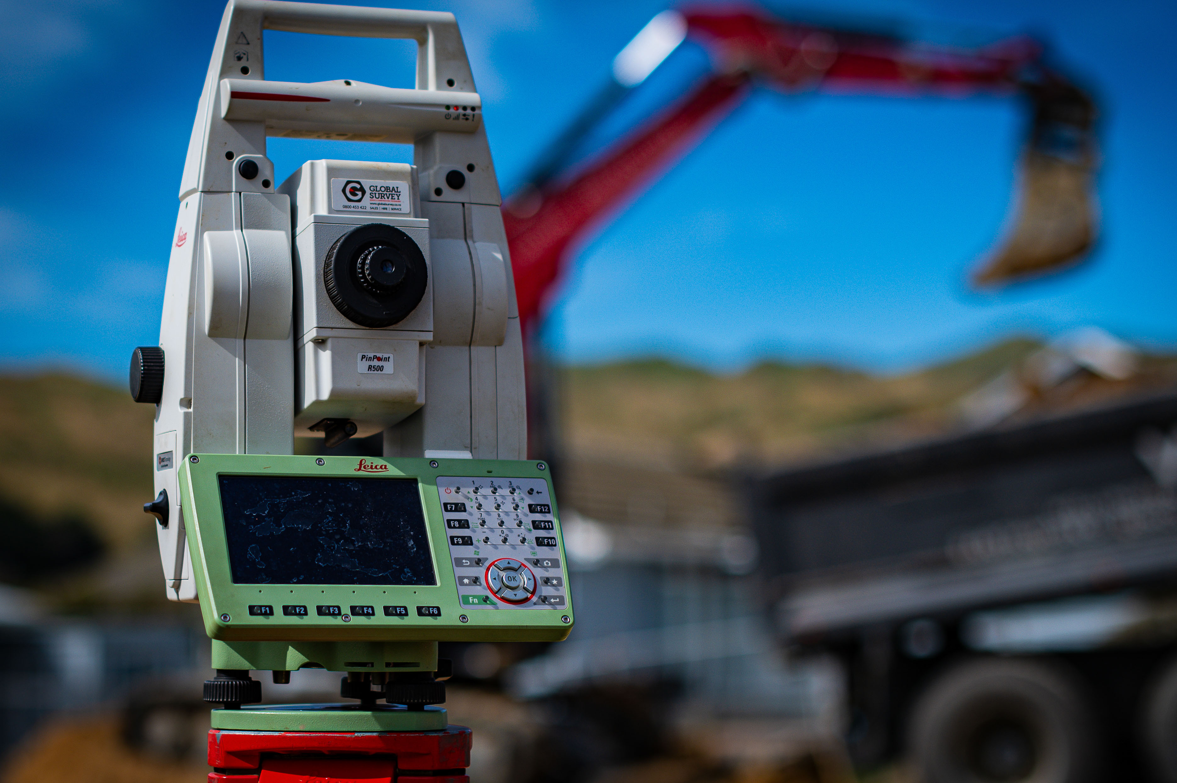
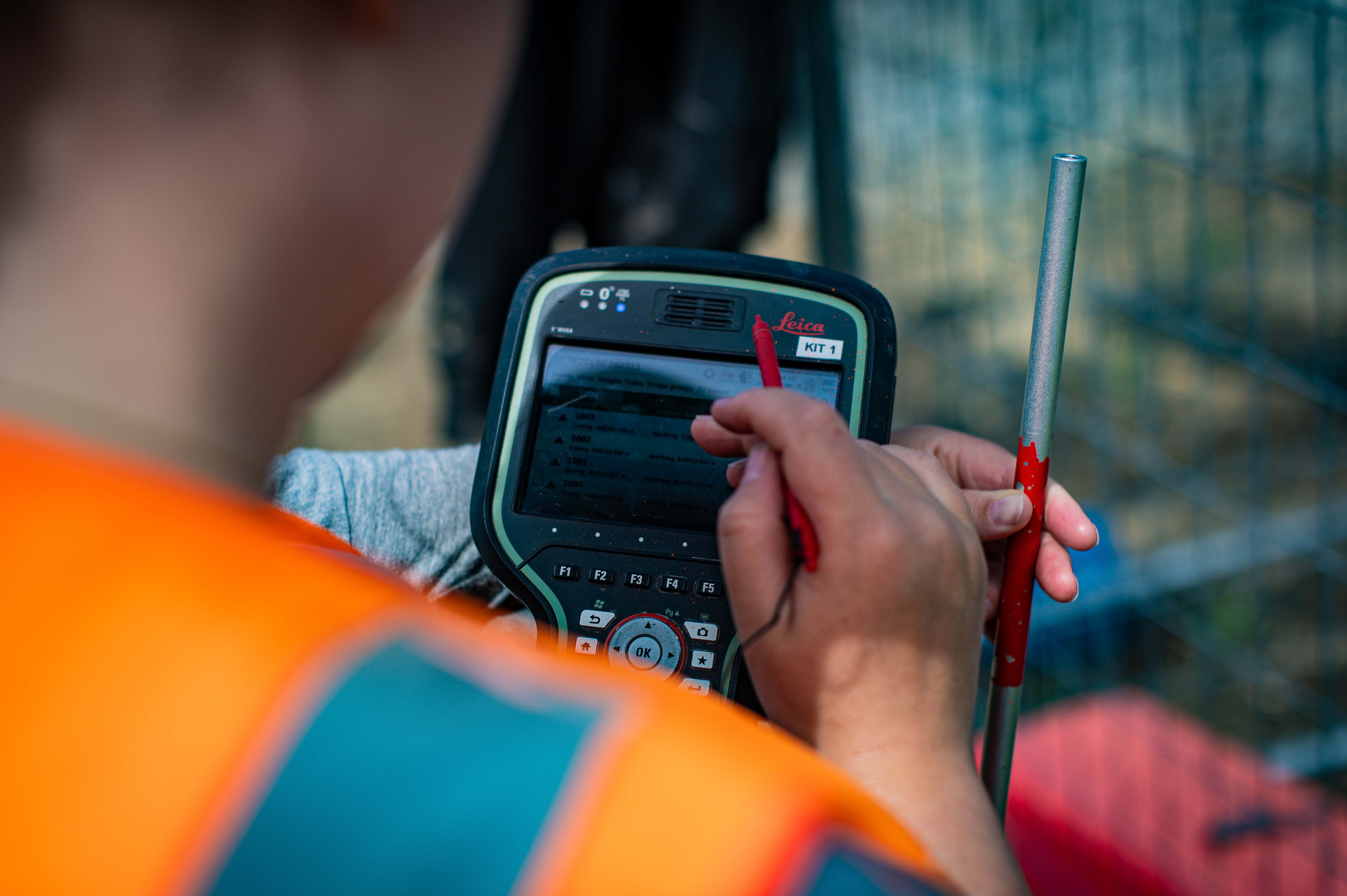
We use modern GPS, drone surveying, and robotic total stations to deliver outputs that designers, contractors, and asset owners can trust. From feasibility studies through to final certification, we translate precise field measurement into clear, decision-ready information. If it involves measuring, mapping, monitoring, or legally defining land or structures, we find the right path to get it done.

Orogen SiteImages 274
Orogen Office 151
More about
Surveying
Client feedback
"Orogen rate a particular mention; their responsiveness, attention to detail and collaboration is reflected in the quality of work put forward."
Kevin Beaver, General Manager - Woodridge Homes.
Surveying

FAQ

Every site is different and there can be a lot of moving parts, but the questions are often the same. Here's what clients ask us most.
Talk to Us
What does Orogen's surveying service cover?

Orogen provides the full range of land surveying services, from cadastral surveys and subdivision work through to topographic surveys, setout, monitoring, and as-builts. Our surveyors work across residential, commercial, and infrastructure projects throughout the Wellington region and wider New Zealand. Whether you need a single boundary reinstatement or a staged multi-lot subdivision, our team has the capability and experience to deliver.

When in my project should I engage a surveyor?

Earlier is almost always better. Engaging Orogen at the concept stage means we can flag potential boundary issues, title constraints, or access matters before they become expensive problems. For subdivisions, we work alongside your planner and engineer from the start so the survey programme integrates with consenting and civil design, rather than being bolted on at the end.

Do I need a Licensed Cadastral Surveyor for my project?

Any work that creates, or alters a legal boundary in New Zealand must be carried out by, or under the direction of, a Licensed Cadastral Surveyor. Orogen has Licensed Cadastral Surveyors on staff who can prepare and lodge survey plans directly with Land Information New Zealand (LINZ). If your project involves a new title, boundary adjustment, easement, or subdivision, you can expect a Licensed Cadastral Surveyor to be required.

How long does a survey typically take?

Timeframes depend on the type and complexity of the survey. A straightforward topographic survey of a residential section can take a day on site and a few days in the office. A subdivision involves council processing and LINZ lodgement, which can take many months. We give you a realistic programme at the start of every project and flag early if anything is likely to affect timing.

How much does a survey cost?

Survey fees depend on the scope, site conditions, and deliverables required. We provide clear fee proposals before starting any work so you know what to expect. Contact us with your project details and we will put together a quote.

How does Orogen's survey team work with the rest of my project team?

Orogen is an integrated consultancy, which means our surveyors work directly alongside our civil engineers, planners, and environmental specialists. Survey data feeds directly into engineering design and resource consent applications, which cuts down on communication errors and speeds up the overall process. If you have an existing project team, we are equally comfortable working as a standalone survey provider.

What technology does Orogen use for surveying?

Our team uses modern total stations, GPS receivers, and UAV/drone equipment to capture accurate, efficient survey data. We deliver outputs in the formats your engineer or architect needs, including DWG, LandXML, and PDF. For complex or large sites, we combine ground-based and aerial methods to get the best coverage and accuracy.

Can Orogen advise on the best survey approach for my project?

Yes, and we encourage clients to have that conversation early. The right survey method depends on your site, your programme, and how the data will be used downstream. Our team will recommend the most practical and cost-effective approach rather than defaulting to the most comprehensive option.

Can Orogen locate my property boundaries or replace missing pegs?

Yes. We perform redefinition surveys to locate existing boundary marks or replace missing pegs using official survey records and on-site measurements. We can provide marks to assist with fencing purposes and can advise on next steps if the boundary is disputed.

Uncertainty on a survey costs twice - once in mistakes, once in delays. We eliminate it early. - Let's talk
Contact Us