Topographic Surveys

Topographic survey services producing accurate terrain models, contour maps, and site data for design, consenting, and construction across all project scales.
Talk to Us
This is some text inside of a div block.

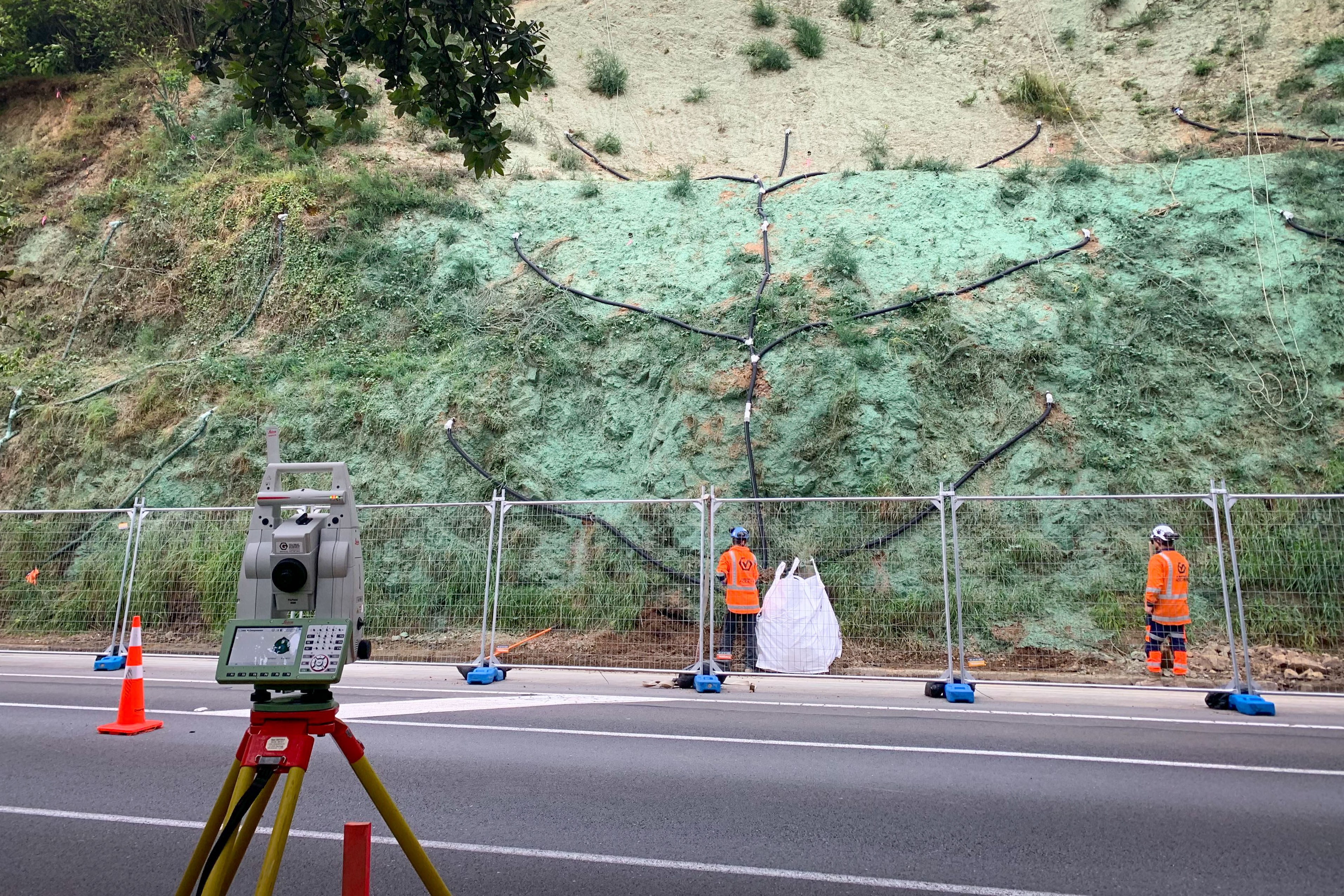
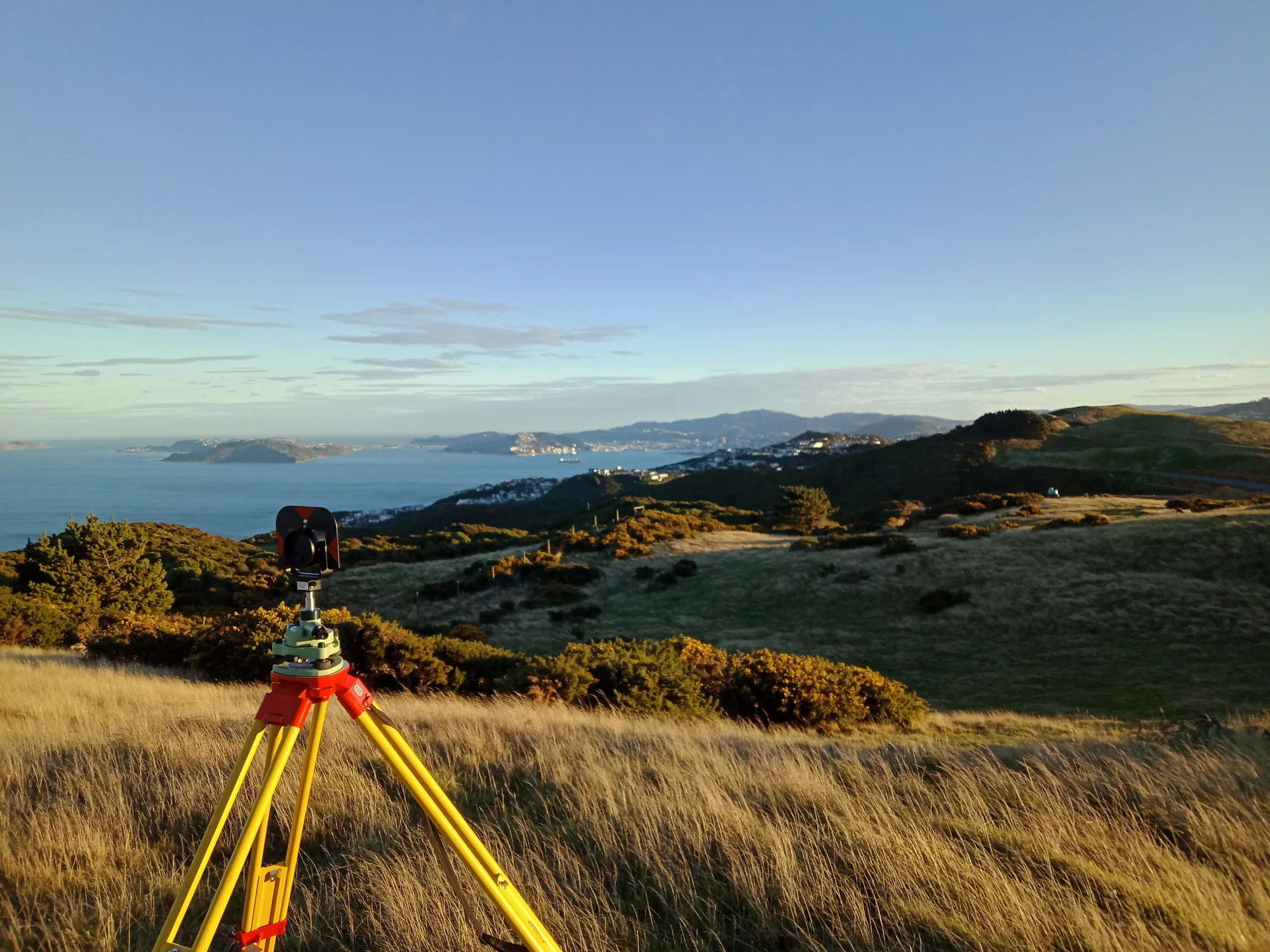
A topographic survey creates a detailed map of the land and its features capturing ground levels, contours, structures, vegetation, drainage, and services. It is typically the first step before design or development, giving architects, engineers, and planners an accurate digital model of the site to work from.

Without reliable topo data, designs are built on assumptions. We gather topographic information thoroughly and efficiently, using traditional ground survey methods, alongside drone (UAV) technology for large or complex sites. Our outputs are CAD compatible, clearly structured, and trusted by councils and consultants across the region. The path to a good design starts with knowing exactly what you're dealing with.

Orogen Office 28
IMG20210519162438
Orogen SiteImages 196
Client feedback
"Accurate field survey, clean data, and drawings to match - Orogen are the survey and civil engineering team we rely on."
Kyle Christensen - Principal Engineer, Christensen Consulting Ltd
Topographic Surveys

FAQ

Every site is different and there can be a lot of moving parts, but the questions are often the same. Here's what clients ask us most.
Talk to Us
What is a topographic survey?

A topographic survey captures the physical features of a site: ground levels (contours), buildings, fences, trees, services, and anything else relevant to the design. It produces an accurate, geo-referenced model of the existing site conditions. Designers and engineers rely on topographic data to produce plans that actually reflect what is on the ground.

What is a topographic survey used for?

Topographic surveys are used at the start of almost every land development or building project. Architects use the contours and feature data to design the building. Civil engineers use it to model earthworks, stormwater, and roading. Planners use it to assess effects and prepare scheme plans. Getting an accurate topographic survey early prevents costly design changes later.

Do I need a topographic survey before applying for resource consent?

In most cases, yes. Resource consent applications for subdivision and development almost always require an accurate site survey as the basis for the scheme plan and engineering assessments. Without reliable survey data, planners and engineers are designing blind, which creates risk for both the consent application and the eventual construction.

What format does Orogen deliver topographic survey data in?

We deliver in the format your design team needs, typically DXF or DWG for CAD use, LandXML for engineering design software, and PDF for reference plans. If your engineer or architect has a specific requirement, let us know at the start and we will set up the survey to deliver exactly what is needed.

How long does a topographic survey take?

A residential section survey is usually completed with a full day on site, and data delivery within one week. Larger or more complex sites take longer. We will give you a firm programme at the time of quoting so you can schedule your design team accordingly.

Can Orogen survey a site that has existing buildings on it?

Yes. We regularly survey sites with existing structures, including internal floor levels, roof lines, and underground services where they can be located. Let us know what level of detail your design team needs and we will scope the survey accordingly.

How accurate are topographic surveys?

Orogen's topographic surveys are conducted to survey-grade accuracy using calibrated GNSS and total station equipment, referenced to the national geodetic network. Positional accuracy is typically within 20-50mm, and vertical accuracy for design purposes is well within the tolerances required by engineers and architects.

Good design starts with good data. We capture it. - Talk to our team.
Contact Us