A residential topographic survey captures the precise shape of your property ground levels, contours, existing structures, trees, services, and boundaries as a 3d model, giving your designer everything they need to work with your site accurately.
Without a topo survey, architects and engineers design on assumptions. A design that looks right on a flat plan can run into real problems on a sloping or constrained site requiring redesign, adding cost, and delaying consent. Councils often require a site plan showing levels for resource or building consent applications.
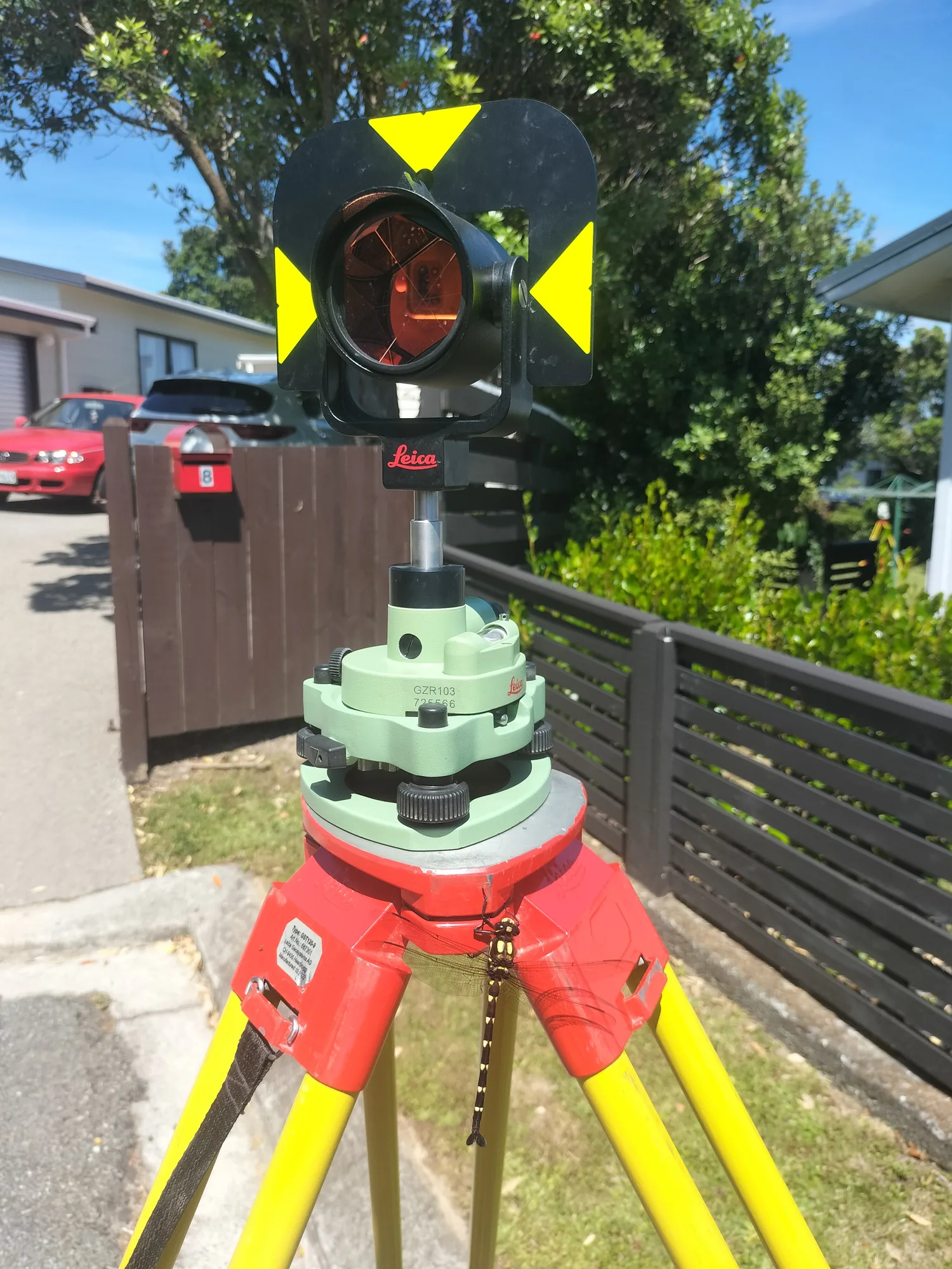
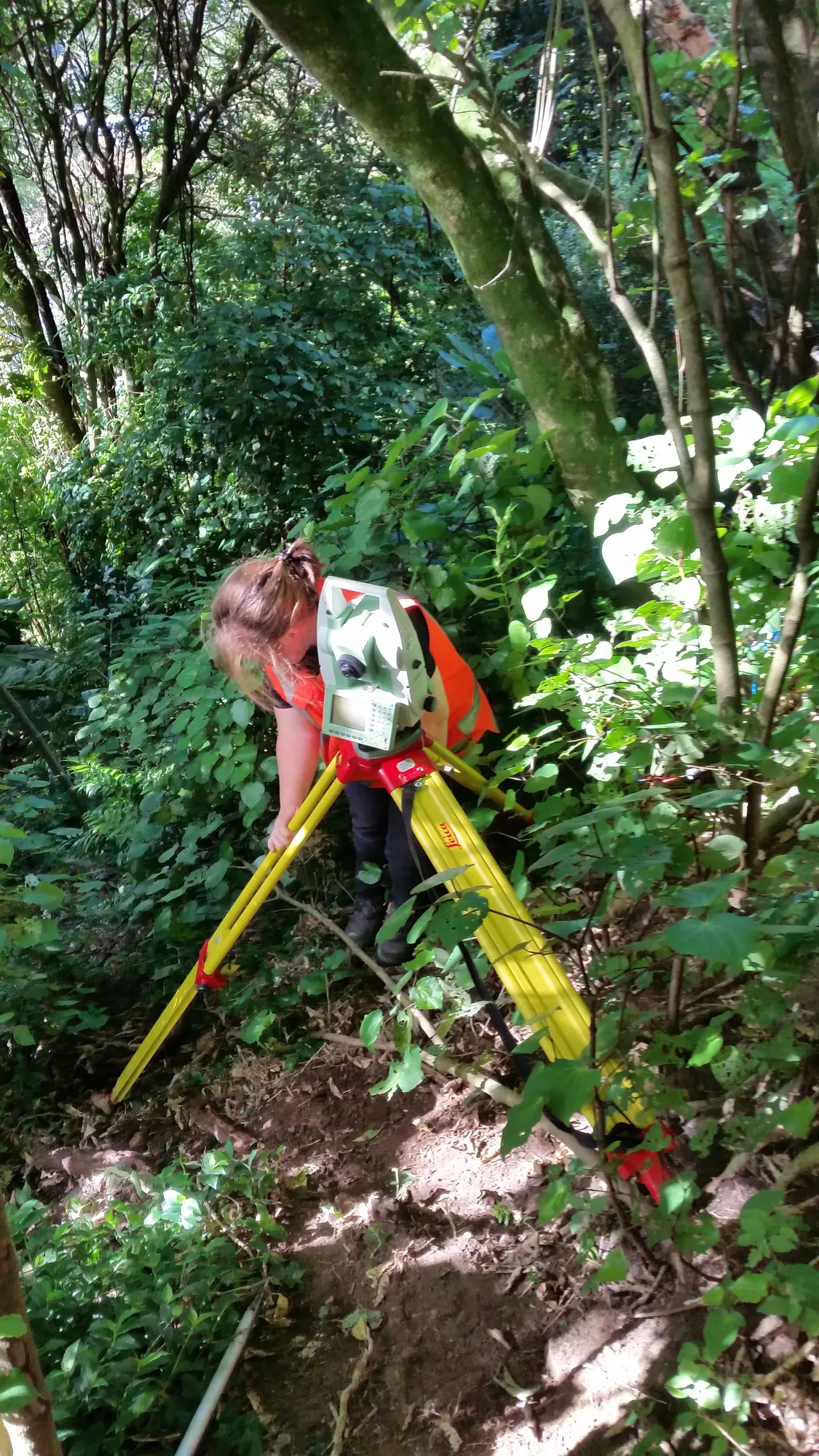
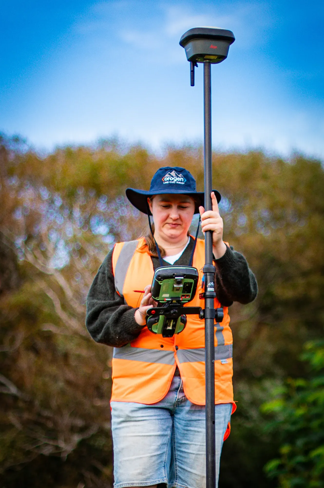
We capture all relevant detail: ground levels at regular intervals and along key changes in slope, the footprint and eave heights of existing buildings, fence positions and boundary pegs, significant trees, and the locations of visible services. We establish an onsite benchmark so builders can reference our levels throughout construction. We deliver a topographic plan and digital CAD files that your architect or engineer can import directly into their design software ready to use.