Large-scale Surveys

Large-area topographic surveys combining UAV drone capture and targeted ground survey for development sites, infrastructure corridors, and rural blocks.
Talk to Us
This is some text inside of a div block.

Large-scale topographic surveys cover extensive areas proposed subdivisions, commercial and industrial sites, rural blocks, or infrastructure corridors. They capture the overall terrain, drainage patterns, natural features, and existing infrastructure across tens of hectares, providing the data foundation for earthworks design, road planning, and drainage engineering.

Big sites need big-picture data. An accurate largescale survey uncovers constraints  hidden gullies, overland flow paths, poorly mapped existing services before design begins. Discovering these during construction is far more expensive than discovering them on a contour map. Engineers and planners need reliable models to produce designs that actually work on the ground.

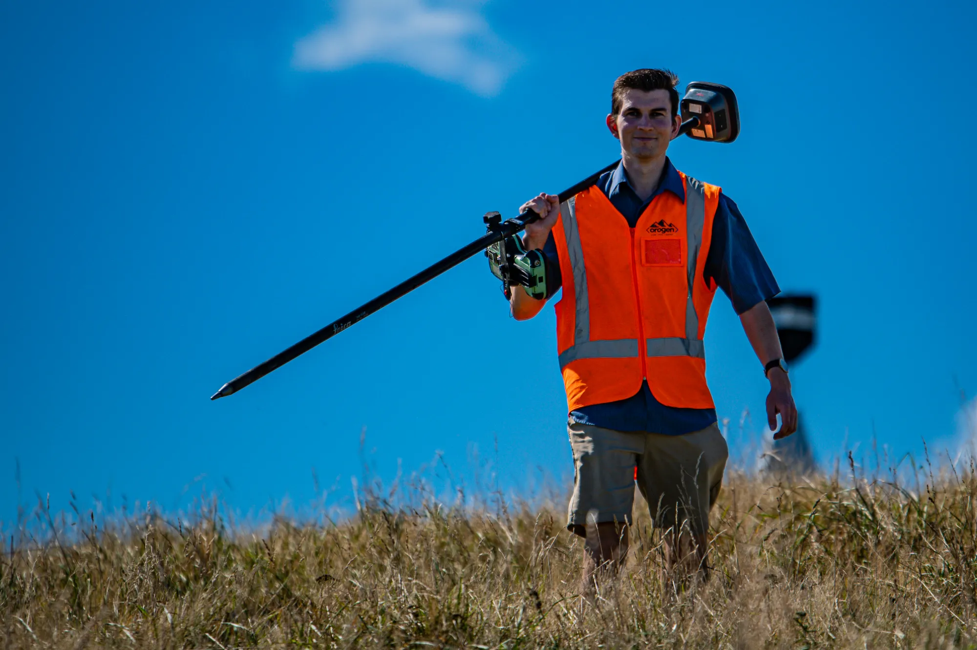
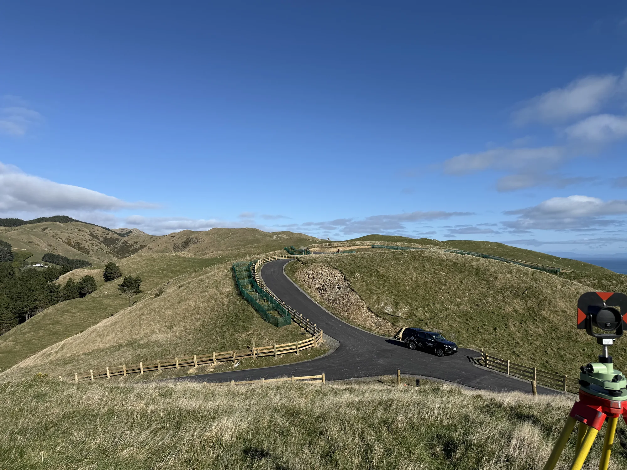
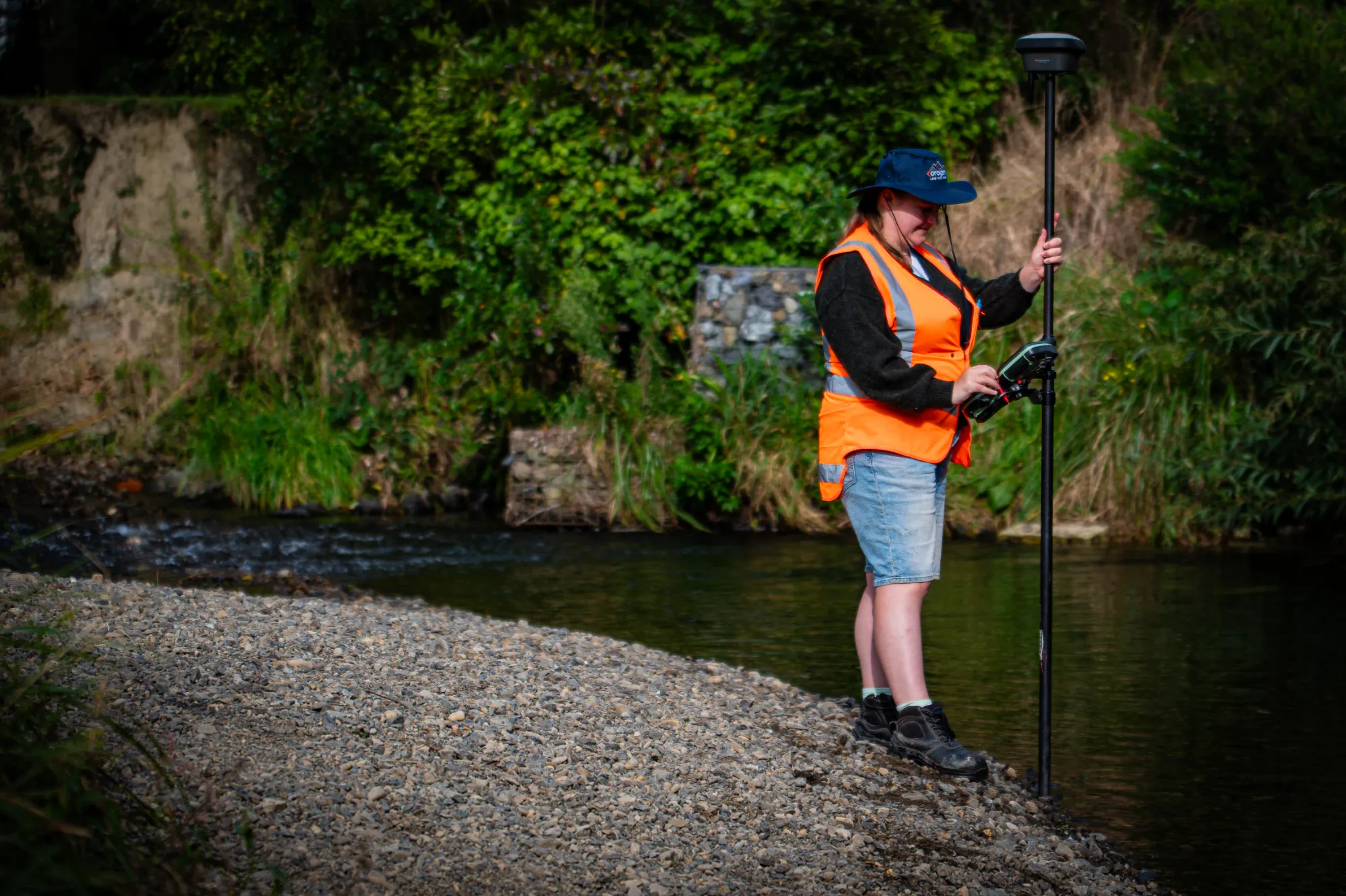
For large sites, we deploy UAV drones to capture a base terrain model quickly, supplemented by targeted ground surveys at critical points, utility invert levels, drainage features, and areas where dense vegetation limits the drone. This hybrid approach lets us map a 50hectare site in a fraction of the time of a pure ground survey, while maintaining accuracy verified by ground control points. We produce contour maps, orthophoto maps, and digital terrain models ready for engineering software. We integrate seamlessly with your design team  because a survey that requires extensive processing or interpretation before it can be used defeats its own purpose.

Orogen SiteImages 285
Client feedback
"Orogen rate a particular mention; their responsiveness, attention to detail and collaboration is reflected in the quality of work put forward."
Kevin Beaver, General Manager - Woodridge Homes.
Large-scale Surveys

FAQ

Every site is different and there can be a lot of moving parts, but the questions are often the same. Here's what clients ask us most.
Talk to Us
What does a large-scale topographic survey involve?

Large-scale surveys cover anything from a multi-hectare development site to a linear infrastructure corridor. Orogen combines ground-based survey with UAV/drone capture to efficiently cover large areas while maintaining engineering-grade accuracy. The result is a comprehensive digital terrain model and feature survey that design teams can work with directly.

How does Orogen manage quality control on large-scale surveys?

We establish a network of control points across the site before survey work begins, and check all data against these controls throughout the process. Final deliverables are reviewed by a senior surveyor before issue. For critical projects, we can provide a formal accuracy report alongside the survey data.

Can Orogen combine drone and ground-based survey methods for large sites?

Yes, and this is often the most cost-effective approach. Drone capture covers large areas quickly; ground-based survey is used for areas where drone access is limited and for critical detail features. We determine the right combination based on the site and the accuracy requirements of the downstream design work.

What data outputs can Orogen provide for large-scale projects?

We deliver digital terrain models (DTM), contour plans, feature surveys, 3D point clouds, and orthophoto plans as required. Outputs are provided in the formats your design team uses, including DXF, LandXML, GeoTIFF, and PDF. We discuss deliverable requirements at the briefing stage so there are no surprises.

At what point in a large development should I commission a topographic survey?

As early as possible, ideally before you commission any engineering or planning work. The survey data is the foundation that everything else builds on. Commissioning it early means your designers are working from accurate, current information from day one, which typically reduces the total design cost.

How long does a large-scale topographic survey take?

Timeframes depend on the site area and complexity. A five-hectare rural site might take one to two weeks; a 50-hectare development site might take four to six weeks. We will give you a firm programme and milestone schedule at the time of quoting.

Big site, complex constraints, engineers waiting on data? We'll survey it thoroughly and have something useful in your team's hands quickly. Talk to us.
Contact Us