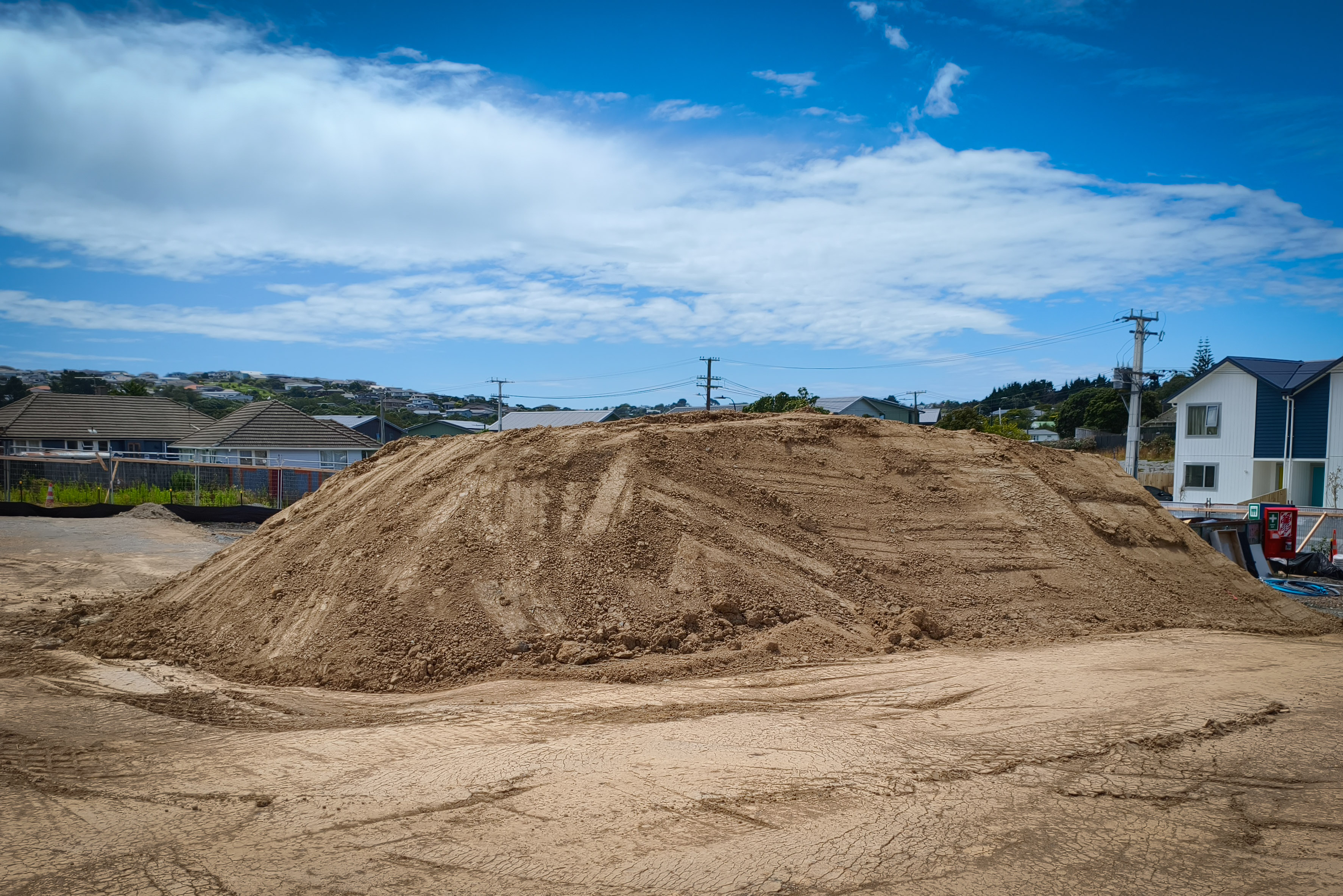
Volumetric surveys measure the quantity of material in a stockpile, the volume of an excavation, or the difference between two ground surfaces such as the cut and fill on an earthworks site. Results are used for invoicing, progress tracking, compliance with cleanfill volume limits, and contract verification.
In construction and earthmoving, volume measurements directly affect cost. Disputes over quantities are common when measurements are approximate or come from only one party. Independent, survey-accurate volumetric data gives both client and contractor the same factual basis and removes the most common source of payment disputes from the table.
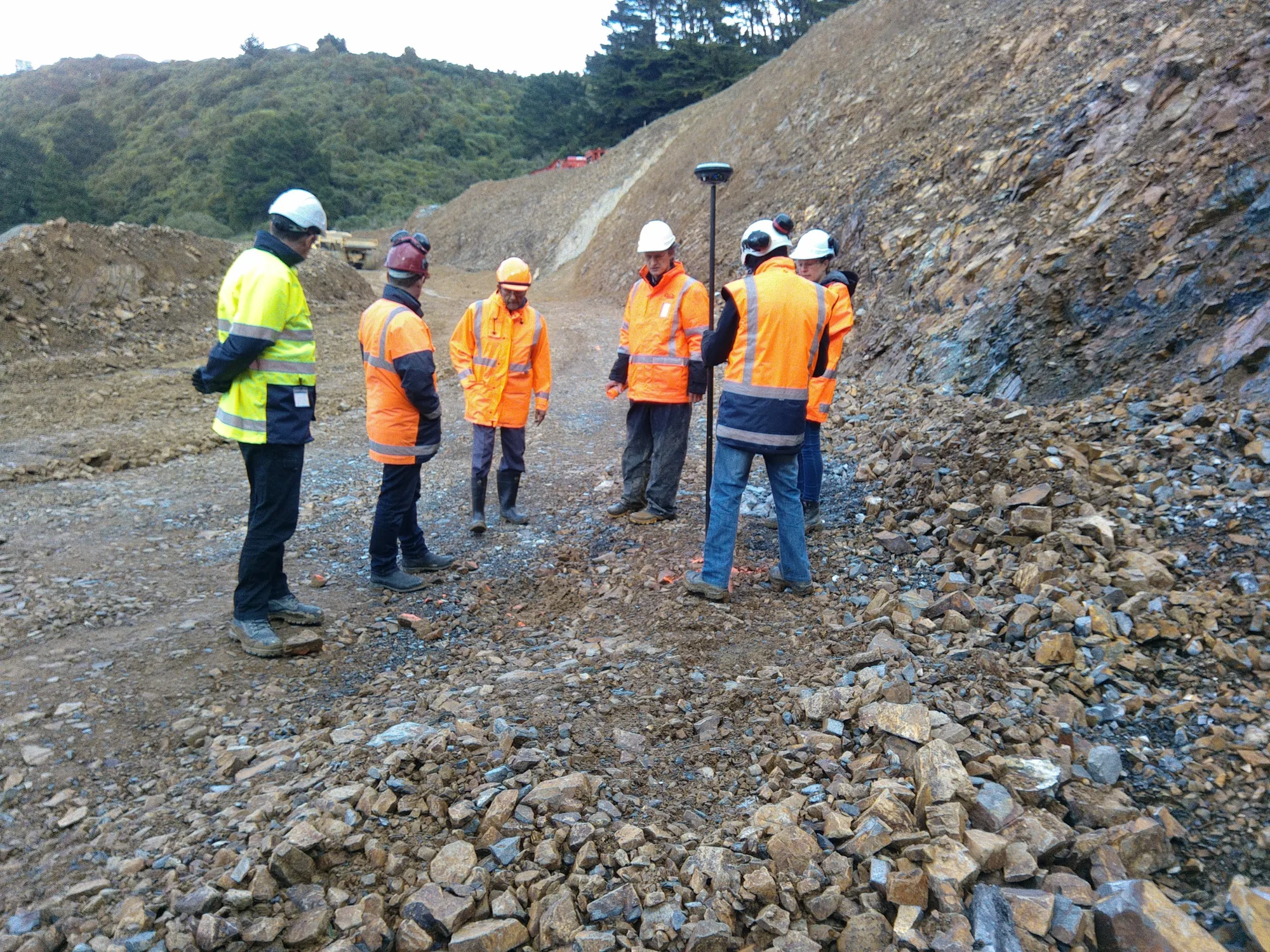
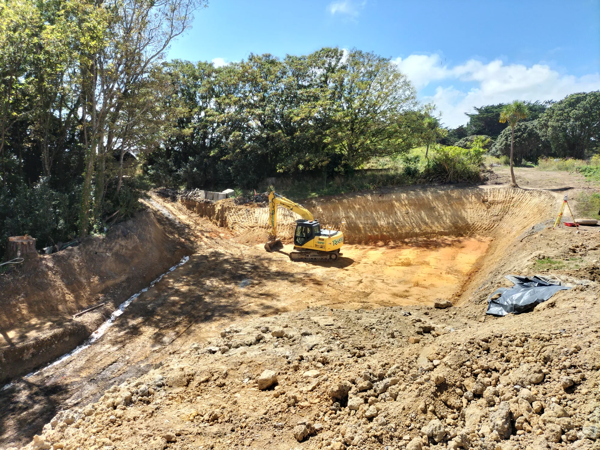
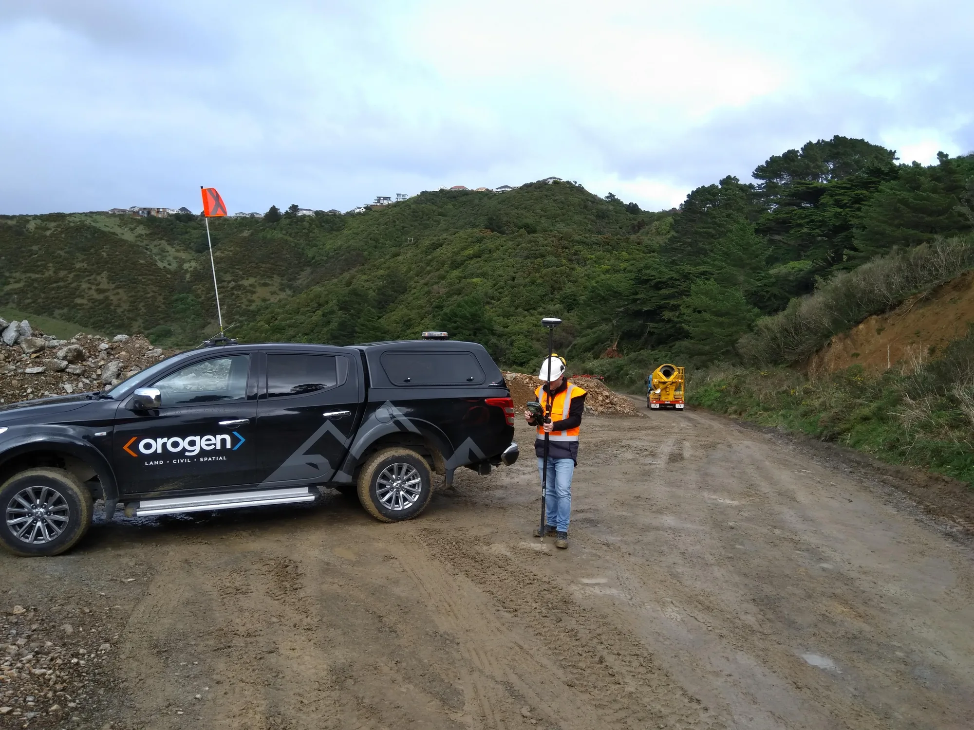
We capture the 3D shape of stockpiles, excavations, or ground surfaces using drone photogrammetry for larger areas or GPS for smaller areas. We survey before and after work, then calculate the volume difference using specialist software typically accurate to within a few cubic metres even on large volumes. Results are presented as volume reports, cross-section plots, or colourcoded maps showing cut and fill depths. Because all our data is georeferenced, calculations are repeatable and you can commission us at multiple stages and track volumes over time with confidence in the consistency of the method.