UAV / Drone Capability

In-house drone survey capability delivering orthophoto maps, terrain models, stockpile volumes, and progress imagery across large and difficult sites.
Talk to Us
This is some text inside of a div block.

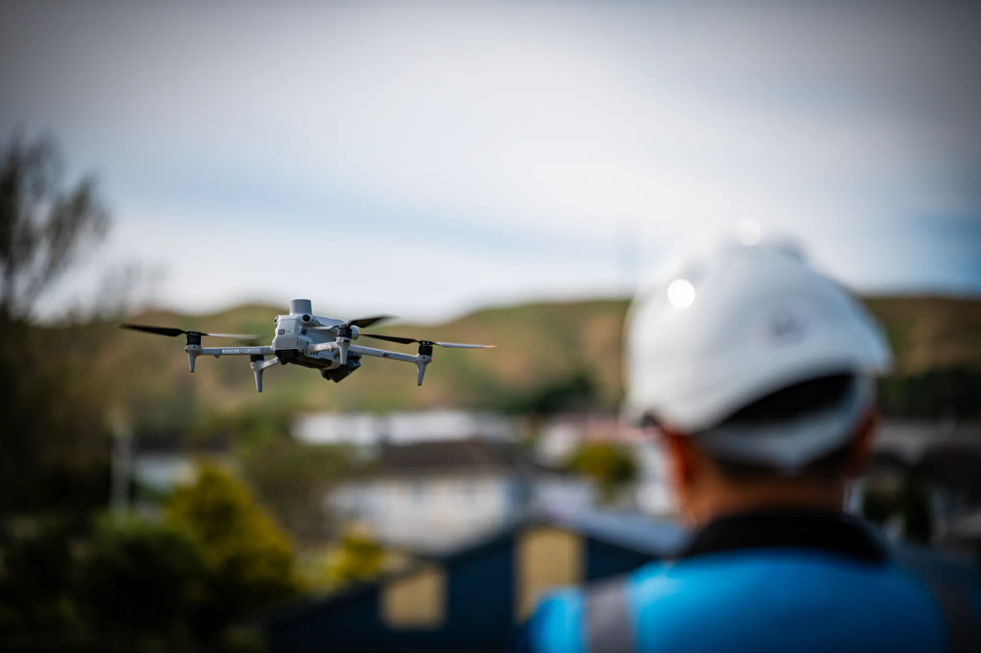
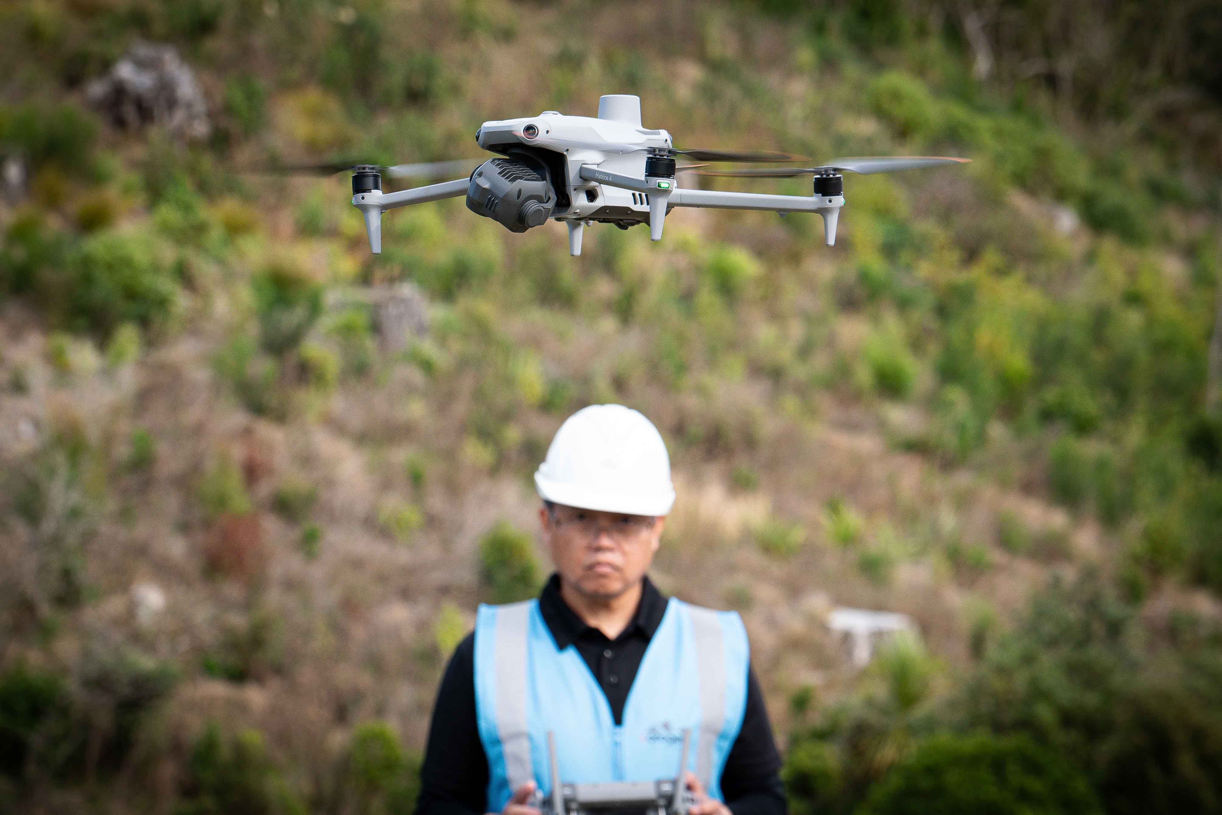
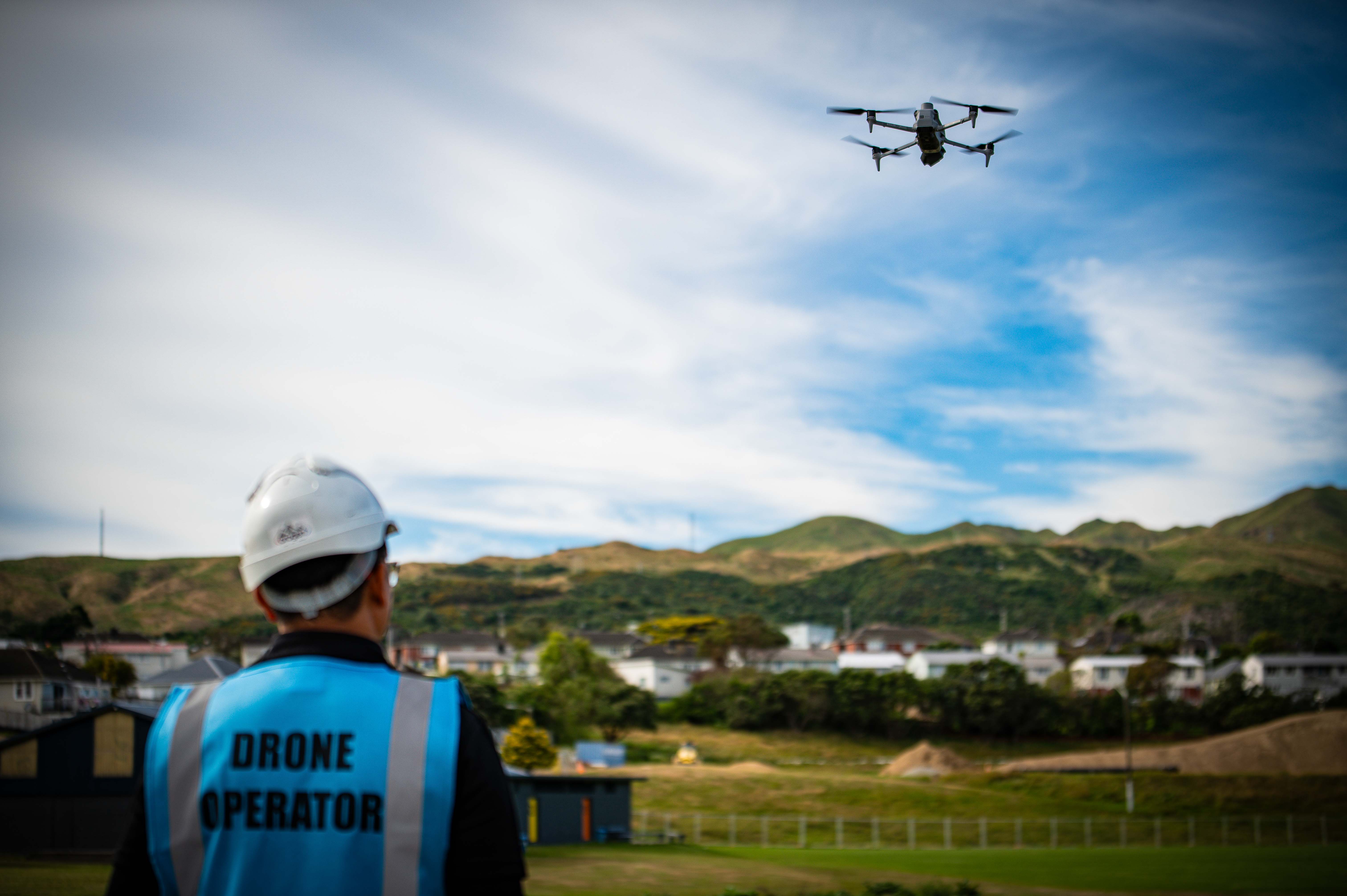
Drone surveying isn't a novelty, it’s a practical tool that delivers data fast on sites where traditional methods are slow, difficult, or unsafe. Our in-house drone capability is fully integrated with our ground survey work, so the outputs are accurate, georeferenced, and ready to use in engineering and planning applications.

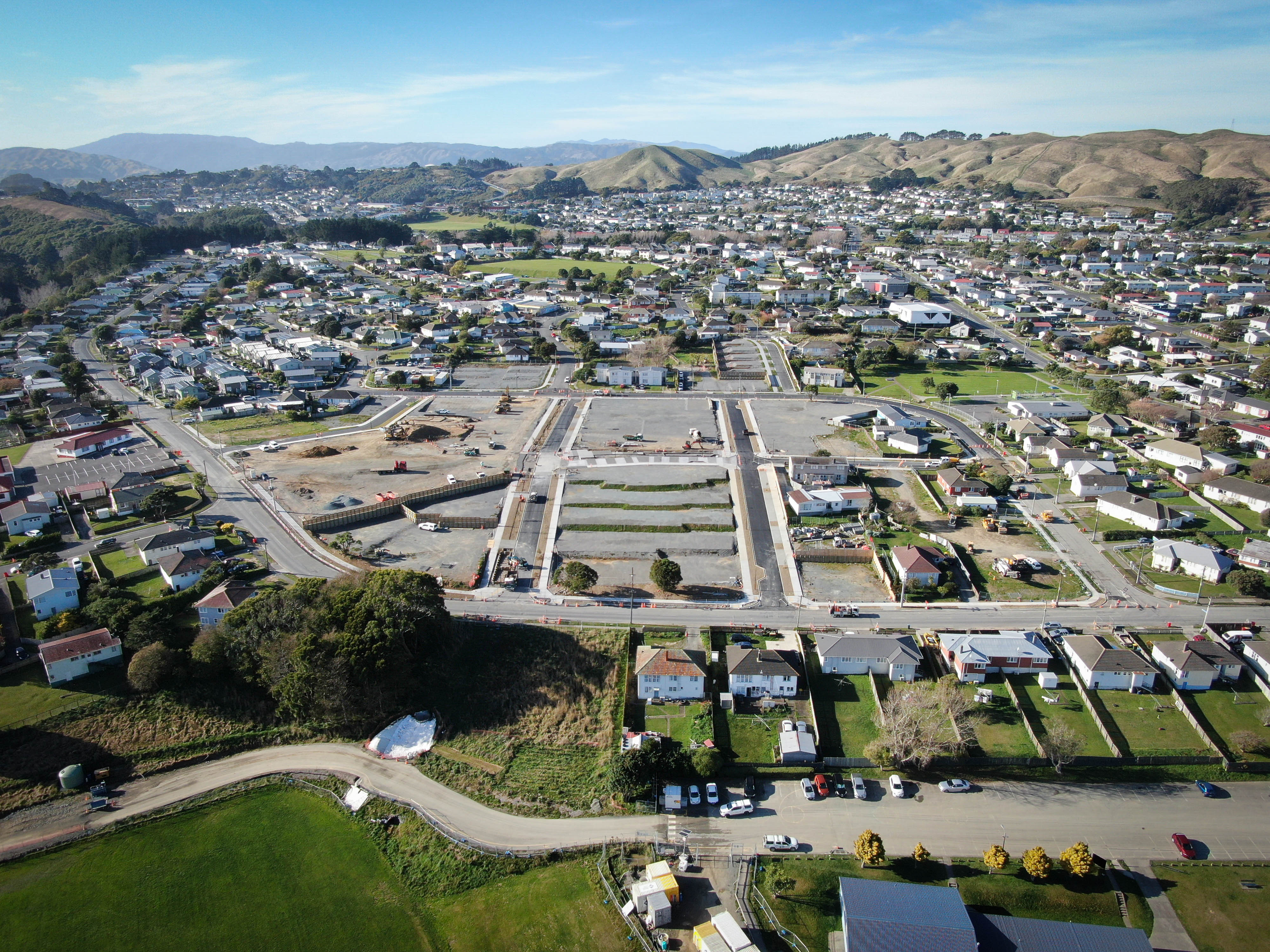
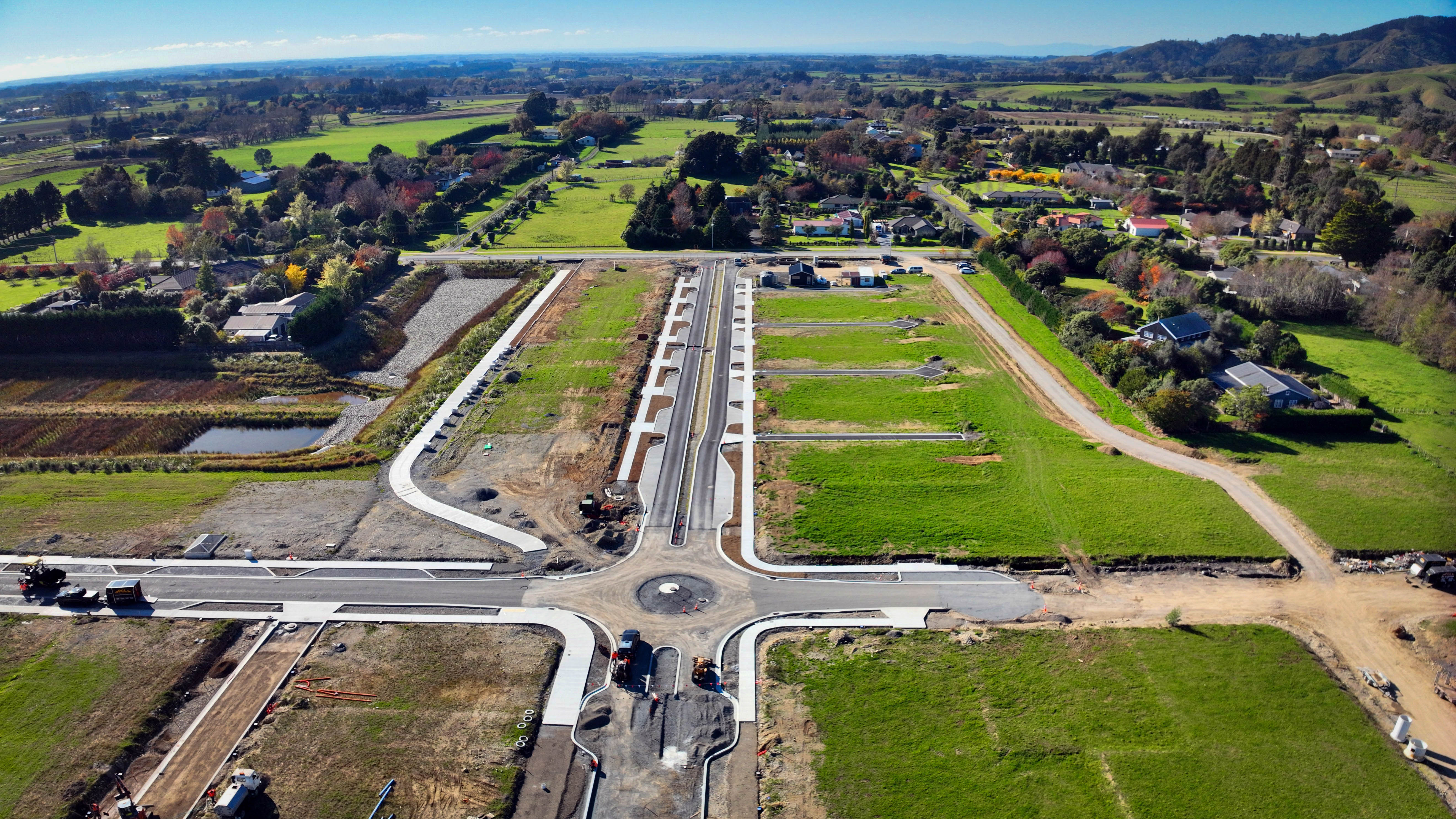
Orthophoto maps: to scale accurate aerial images at 2–3cm pixel resolution, suitable for plan backgrounds or site inspection.

3D terrain models and contours: photogrammetry derived surface models for topographic surveys, earthworks design, and flood assessments.

Stockpile and excavation volumes: drone captured surfaces compared to baseline or design to calculate volumes accurately and quickly.

Progress imagery: periodic flights providing a visual record of site development for project reports and stakeholder communication.

Point clouds: dense surface representations of structures, stockpiles, or terrain for measurement and modelling.

A drone can survey a 20hectare site in a few hours work that would take a ground crew several days. This speed reduces cost and allows data to be captured quickly after a storm event, a slip, or a construction milestone. Drones also improve safety by allowing survey of cliff faces, steep slopes, and active construction zones without exposing staff to risk.

Before every flight, we establish survey grade ground control points tied into the project's coordinate and height datum. These anchor the drone model to the real world so outputs are accurate, not just visually detailed. We carry out ground truthing checks to verify results, and where higher precision is needed at specific features, we supplement drone data with traditional ground survey. All outputs integrate directly with the rest of the project dataset contours from the drone match the cadastral survey, and volumes are calculated against the same benchmark as the engineering design. Our pilots are certified under Civil Aviation Authority (CAA) rules, and our flights comply fully with airspace, privacy, and safety requirements.

Orogen SiteImages 46
UAV / Drone Capability

FAQ

Every site is different and there can be a lot of moving parts, but the questions are often the same. Here's what clients ask us most.
Talk to Us
What can Orogen's UAV and drone capability do?

Our drone capability delivers aerial survey data including photogrammetric point clouds, digital terrain models, orthophoto plans, and 3D models. Drones cover large areas quickly, capture data that is difficult or dangerous to access on foot, and integrate with Orogen's ground-based survey for a complete, high-accuracy dataset.

When is a drone survey better than a traditional ground survey?

Drones are most efficient on large open sites, steep terrain, water bodies, and areas with limited safe foot access. They capture a dense point cloud across an entire site in a single flight that would take days to survey on foot. For sites where efficiency and coverage are priorities, drone survey is often the best approach.

How accurate are drone surveys?

With ground control points and proper processing, Orogen's drone surveys achieve horizontal accuracy of 30-50mm and vertical accuracy of 50-80mm, which is sufficient for most topographic and earthworks applications. For engineering-grade accuracy requirements, we supplement drone data with ground-based survey checks.

What deliverables can Orogen produce from drone data?

Orthophoto plans (geo-referenced aerial images), contour plans, digital terrain models, point clouds, volume calculations, and 3D textured models. We can also produce progress comparison images and GIF animations showing site change over time. Deliverables are provided in standard formats compatible with all major design software.

Are there any site or regulatory restrictions on drone surveys?

Yes. Drone operations in New Zealand are regulated by the Civil Aviation Authority (CAA). Our pilots meet the assessment requirements under the Part 102 standard, and Orogen is currently in the process of obtaining its Part 102 Operator Certificate for commercial operations. Some sites require special permissions, including areas near airports, within controlled airspace, or at sensitive locations. We assess all applicable regulatory requirements prior to each flight and manage any necessary permissions on your behalf.

Can drone surveys be used for construction progress monitoring?

Yes. Regular drone flights over a construction site provide a detailed record of progress, earthworks volumes moved, and ESC compliance. The data can be used to support progress payment claims, update the project programme, and provide evidence for any contractual or consent compliance purposes.

How long does a drone survey take?

A drone survey of a one-to-five-hectare site typically takes one to two hours in the field plus a day of office processing and plan production. Larger sites take proportionally longer. We will give you a clear timeframe at the time of quoting.

Large area to map, difficult terrain to access, or a site you'd rather not put a ground crew across? We'll fly it, process it, and have accurate data in your hands within days.
Contact Us