Rural & Rural Lifestyle Subdivisions

Cadastral survey of rural and lifestyle subdivision projects, covering complex terrain and planning rules across Greater Wellington and Kapiti.
Talk to Us
This is some text inside of a div block.

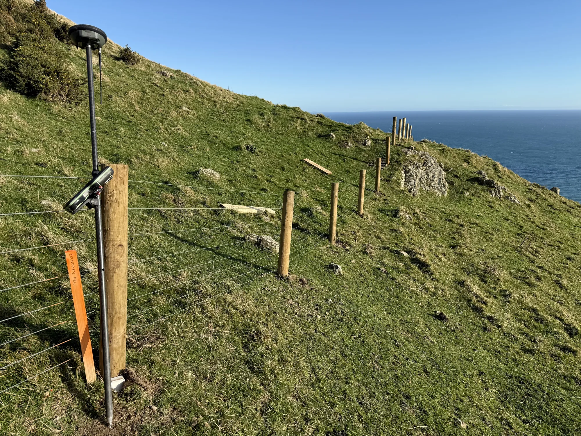
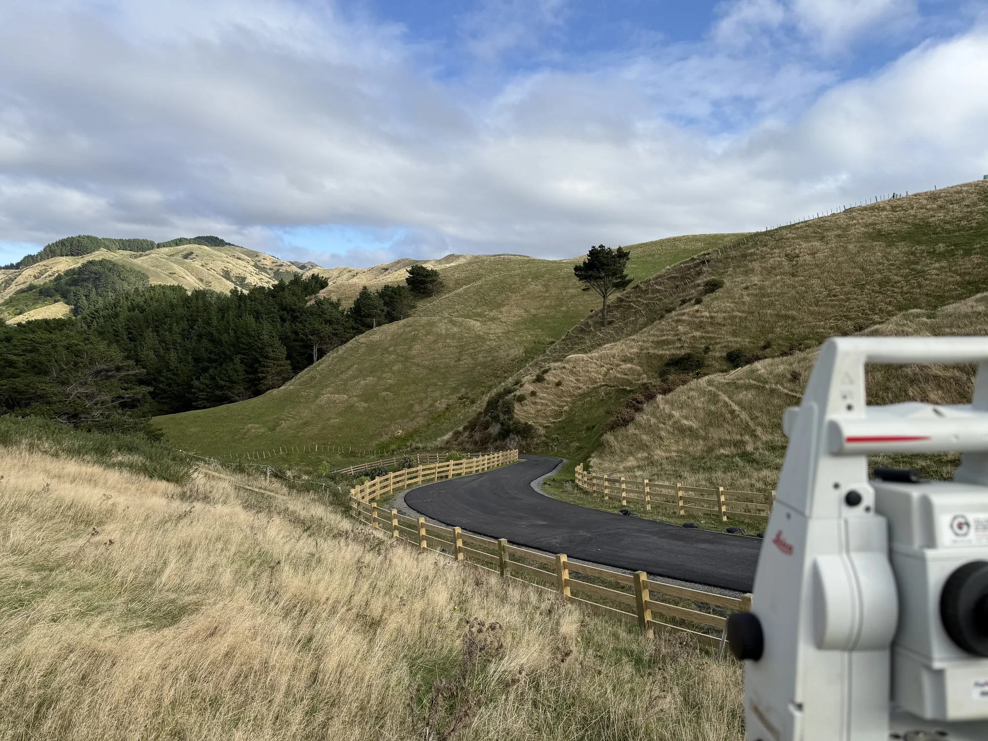
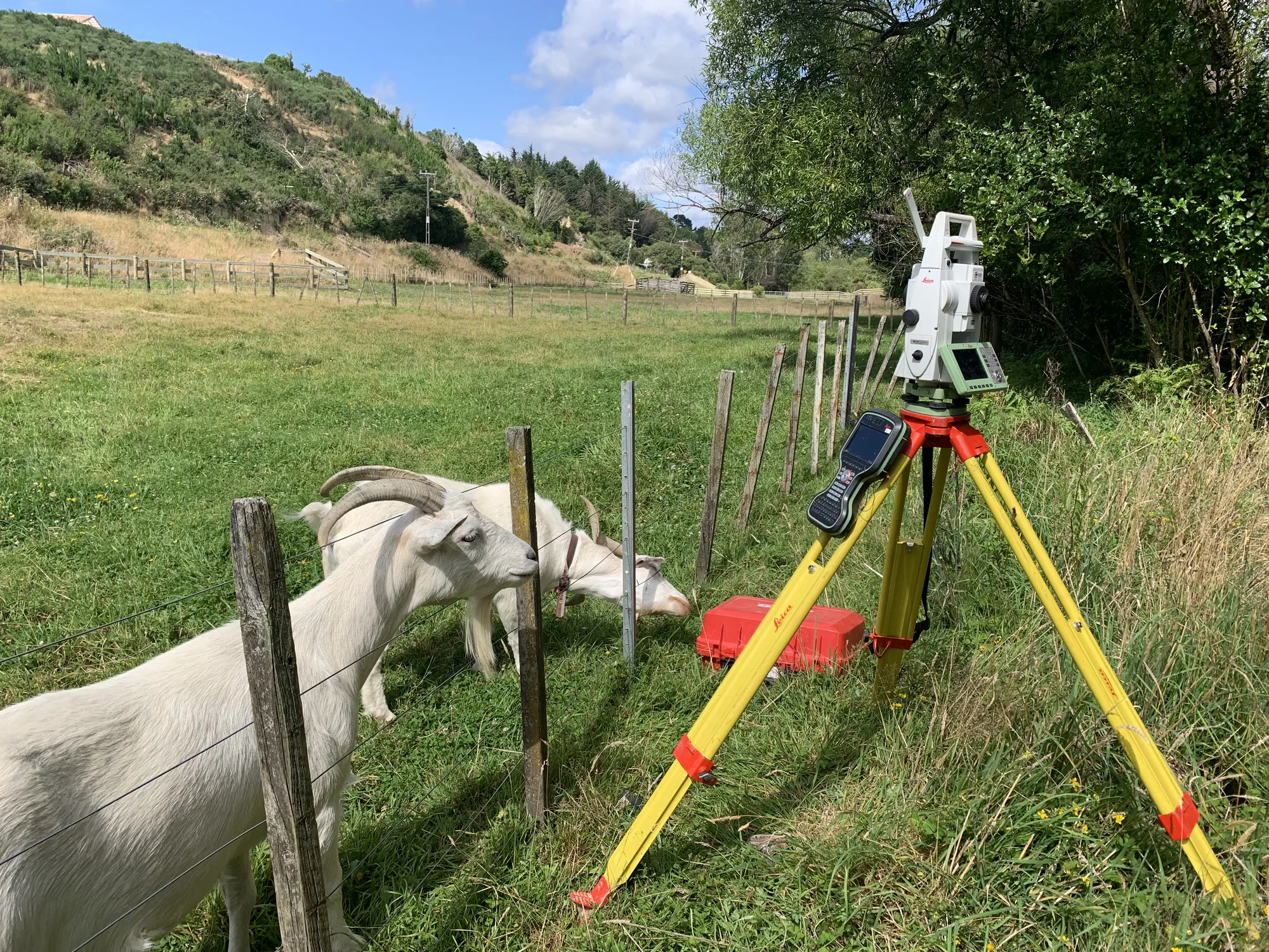
Rural subdivisions divide farmland or lifestyle blocks into new parcels, often with unique features streams, bush areas, long access tracks, and large areas to cover. They frequently involve easements for access or services and protective covenants such as QEII bush covenants.

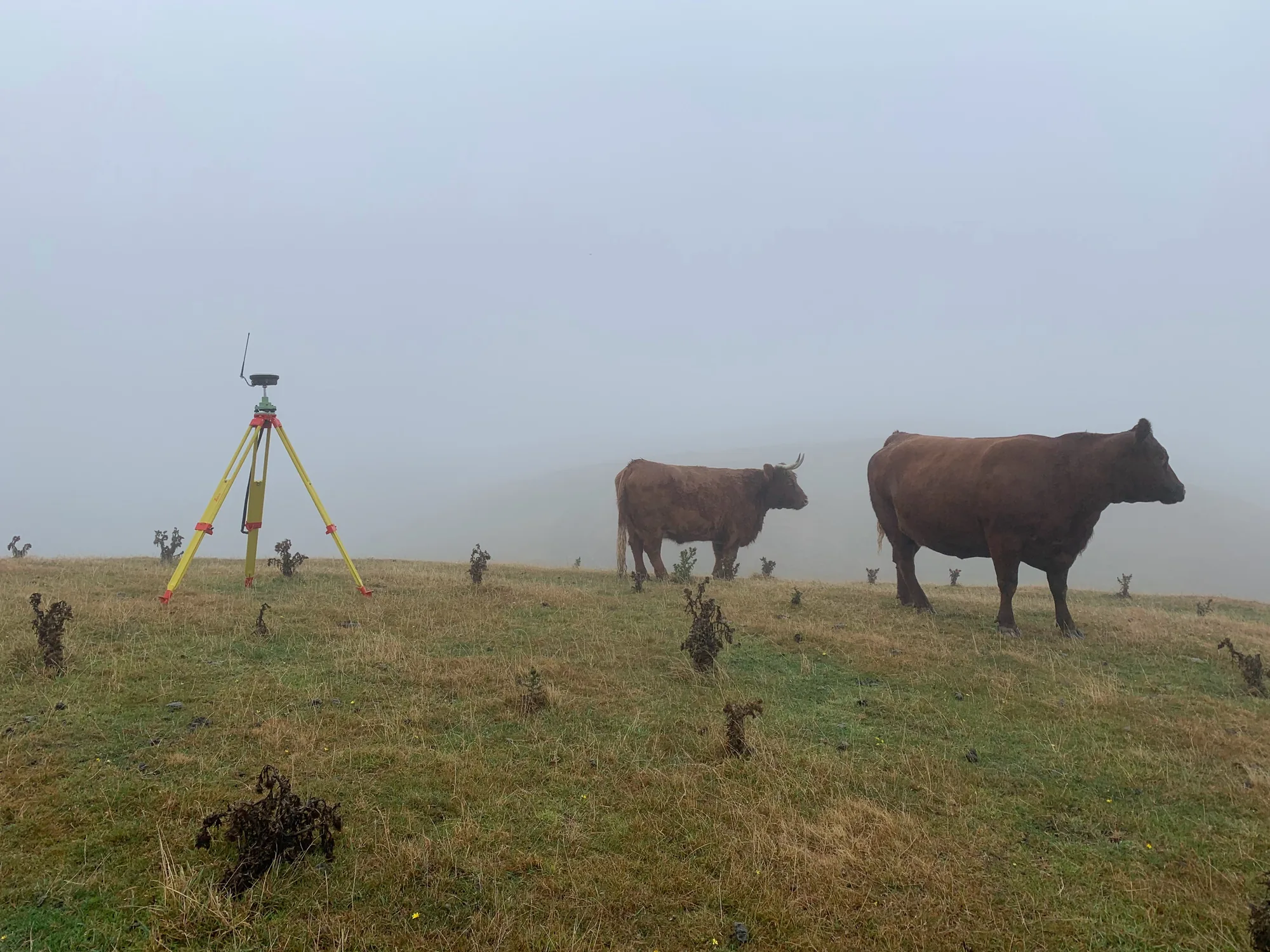
Rural boundaries can span paddocks and hill crests, making physical access challenging. Rural council rules around minimum lot sizes, road frontage, and servicing requirements are specific and must be met precisely. Easements for power lines, water pipelines, or rights-of-way must be surveyed and documented correctly to be legally enforceable, a rough approximation does not stand up in a title dispute.

We understand the planning rules for rural subdivisions across Greater Wellington, Kāpiti, and Manawatū and we understand the terrain. We capture extensive detail over large areas, mark new boundaries at clearly visible locations, and ensure all easements are properly surveyed and described in the title documents. We schedule fieldwork around farm operations, minimise disruption to stock and daily activities, and place clear, durable pegs that are easy to find when the paddocks change hands in twenty years.

IMG 20250630 094447
IMG 1018
IMG 0366
IMG 5046
Orogen SiteImages 260
Client feedback
"Orogen rate a particular mention; their responsiveness, attention to detail and collaboration is reflected in the quality of work put forward."
Kevin Beaver, General Manager - Woodridge Homes.
Rural & Rural Lifestyle Subdivisions

FAQ

Every site is different and there can be a lot of moving parts, but the questions are often the same. Here's what clients ask us most.
Talk to Us
What makes a rural lifestyle subdivision different from an urban one?

Rural subdivisions typically involve larger lots, different zoning rules, and sometimes more complex access and servicing requirements. The resource consent process may involve rural water supply, onsite wastewater, and roading standards that differ from urban environments. The cadastral survey work itself follows the same process, but the planning and engineering context is quite different.

What minimum lot sizes apply in rural zones?

Minimum lot sizes are set by the relevant district plan and vary by zone and location. Some rural zones require lots of two hectares or more; others have no minimum if specific conditions are met. Orogen's planning team can advise on what is achievable under your district plan before you commit to a subdivision concept.

Do I need both a resource consent and a cadastral survey for a rural subdivision?

Yes. The resource consent authorises the subdivision under the Resource Management Act, and the cadastral survey creates the new legal boundaries and titles. These run in sequence: consent first, then the survey is prepared to comply with the approved layout, and finally lodged with LINZ. Orogen can manage both the planning and survey components for you.

How does access to utilities affect rural subdivision surveys?

Access to water, wastewater, and power varies significantly on rural sites. Some areas rely on bores, tanks, and septic systems rather than reticulated services. The resource consent conditions for rural subdivisions often require specific servicing solutions, and these affect how lots are configured and what easements need to be registered. We factor all of this into the survey plan.

How long does it typically take to complete a rural lifestyle subdivision?

From initial planning advice through to title registration, a straightforward rural lifestyle subdivision typically takes twelve to eighteen months. Complex sites, notified resource consent applications, or difficult title histories can extend this. We give you a realistic programme at the start so you can plan around the key milestones.

Can Orogen advise on the best subdivision approach for my rural property?

Yes. We start with a review of the title, the district plan rules, and any known site constraints before recommending an approach. Sometimes a rural boundary adjustment achieves the client's goal more quickly and cheaply than a full subdivision. We will tell you what is genuinely the best path for your situation.

MOre Services
Got land to split and hills to peg across? We know the terrain and the planning rules. Talk to us about what's achievable.
Contact Us