Large-scale Subdivisions and Land Development

Cadastral survey services for multi-lot residential, industrial, and rural subdivisions, from scheme plan through to Land Transfer survey lodgement.
Talk to Us
This is some text inside of a div block.

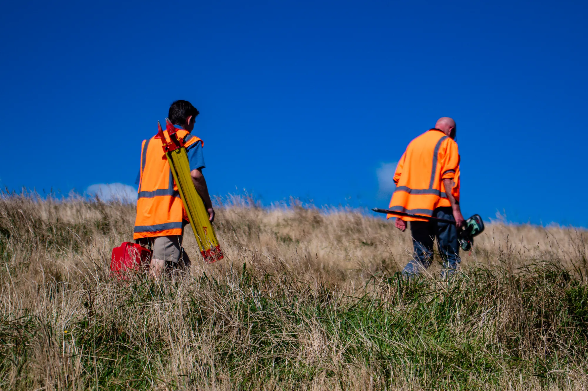
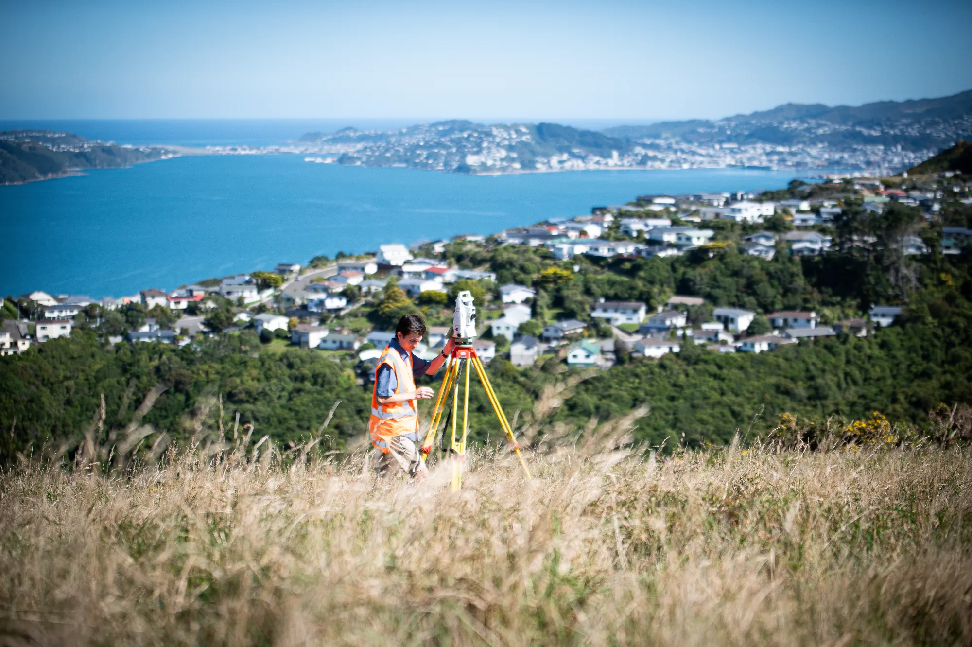
When a development creates multiple new lots, whether a residential development, industrial park, or rural lifestyle blocks, a full cadastral survey is needed to legally define every new boundary, road, reserve, and easement. We manage the entire subdivision survey lifecycle, from initial scheme plans through to final Land Transfer plans and new titles.

Large subdivisions can involve complex boundary layouts, staged consenting, roads to vest, and reserves to create. Survey errors at any stage can delay title issuing or cause costly redesigns. Having a single experienced survey team across all stages prevents those problems and keeps the path to new titles clear.

We work alongside your planners and civil engineers, ensuring lot dimensions, road boundaries, and easements align with design and council requirements. We peg every new lot, prepare Cadastral Survey Datasets (CSDs) for LINZ, and coordinate legal approvals at each stage. Because we're involved from feasibility through to final certification, we adapt quickly when the project evolves  if a lot needs resizing during engineering design, we update the survey and keep everything compliant without disrupting the programme.

Client feedback
"Orogen rate a particular mention; their responsiveness, attention to detail and collaboration is reflected in the quality of work put forward."
Kevin Beaver, General Manager - Woodridge Homes.
Large-scale Subdivisions and Land Development

FAQ

Every site is different and there can be a lot of moving parts, but the questions are often the same. Here's what clients ask us most.
Talk to Us
What cadastral survey work is required for a large-scale subdivision?

Large subdivisions require a staged programme of cadastral survey work, including preparation of the scheme plan, survey of each stage as infrastructure is completed, and lodgement with LINZ to create titles for each stage. Orogen manages this programme in coordination with your civil engineer and planner so survey work is completed and lodged as each stage reaches practical completion.

At what stage should I engage Orogen for cadastral work on a large development?

Ideally at the planning stage, before resource consent is lodged. Early involvement allows us to review the proposed lot layout for survey feasibility, confirm any existing boundary or title constraints, and integrate the survey programme into the project timetable. Surprises at the survey stage of a large project are expensive; most can be avoided with early input.

How does Orogen coordinate the cadastral survey with civil engineering and planning on large projects?

We work as part of your wider project team. Survey data informs the civil design and vice versa, and we communicate directly with your planner on consent conditions that relate to survey deliverables. Because Orogen offers civil, planning, and survey services in-house, coordination is often tighter than when these disciplines come from separate firms.

What is a s223 or s224(c) approval and how does Orogen support it?

Section 223 of the Resource Management Act 1991 is a required approval from Council that certifies that the survey plan is in accordance with the consent. Section 224c certification from Council is issued once all consent conditions have been met. Both are required before new titles can be issued. Orogen prepares the survey plan for s223 approval, and works with your project team to ensure all infrastructure, documentation, and engineering certification is in place before s224(c) is applied for.

Can Orogen manage survey across multiple stages of a staged development?

Yes. We set up the survey framework for the whole project at the outset and carry out each stage survey as the development progresses. Having a consistent survey team across all stages reduces errors, speeds up LINZ lodgement, and means we hold all the background survey knowledge from day one.

What are the most common causes of delay in large subdivision surveys?

Missing or disturbed survey marks, inconsistencies in historical survey records, and changes to lot layouts late in the design process are the most common causes of delay. Engaging us early means these issues are identified and resolved before they affect the programme, rather than discovered during survey fieldwork.

MOre Services
Building a subdivision? We've surveyed the path from grass paddock to new titles more times than we can count. Get us involved early and we'll keep it that way.
Contact Us