Flood Modelling

Flood modelling and hydraulic analysis for development sites in flood-prone areas, providing the technical evidence councils require and informing resilient design.
Talk to Us
This is some text inside of a div block.

Manage flood risk with confidence - and get your project approved.

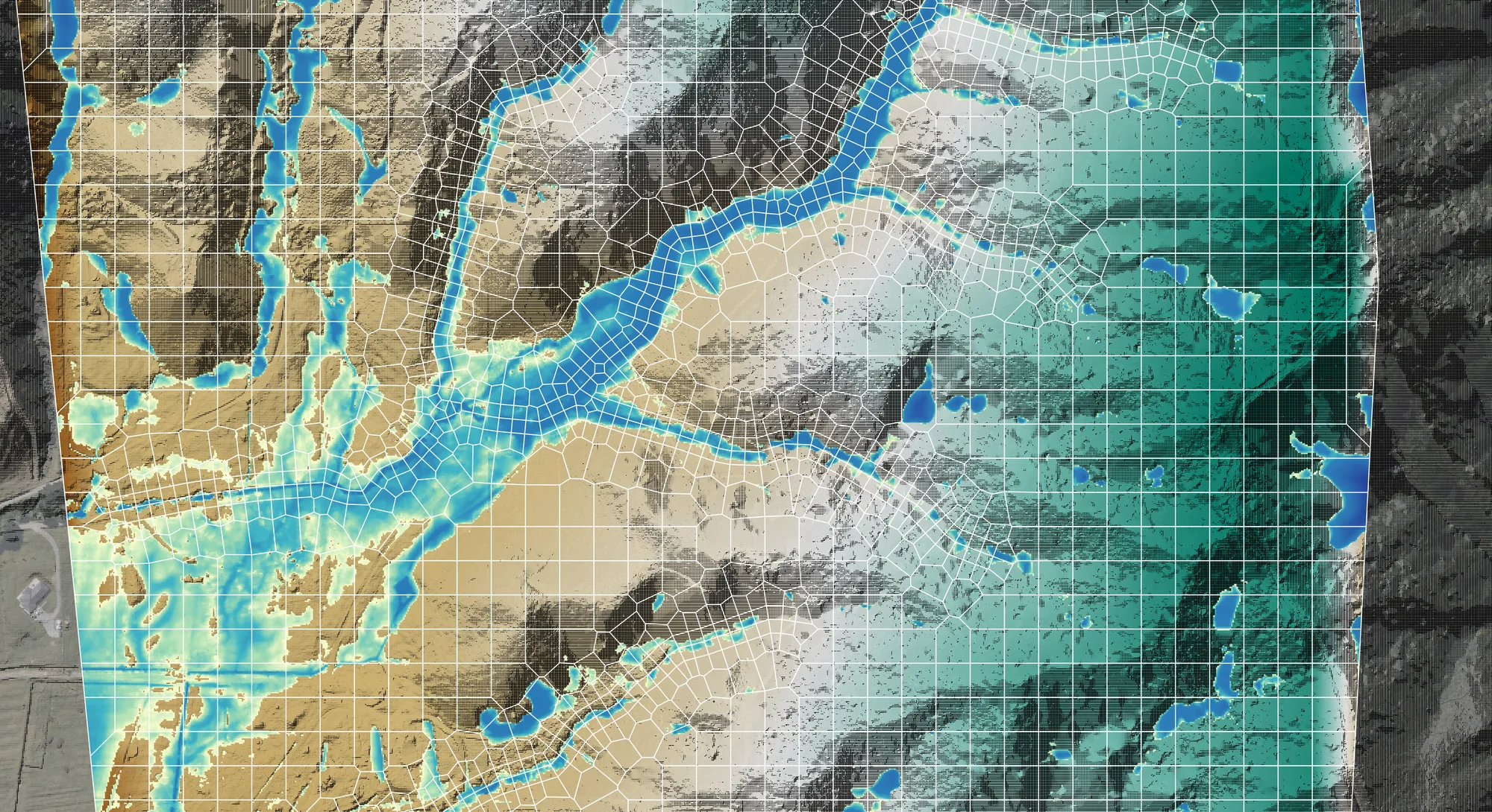
Our flood modelling and analysis service provides the technical insight needed to develop land in flood-prone areas safely and in compliance with regulatory requirements. We combine advanced hydrological and hydraulic modelling with on-the-ground engineering knowledge to produce robust, defensible flood assessments that stand up to council and peer review scrutiny.

From early feasibility through to detailed design and construction, we ensure flood risk is understood, managed, and clearly communicated at every stage.

Why flood modelling matters

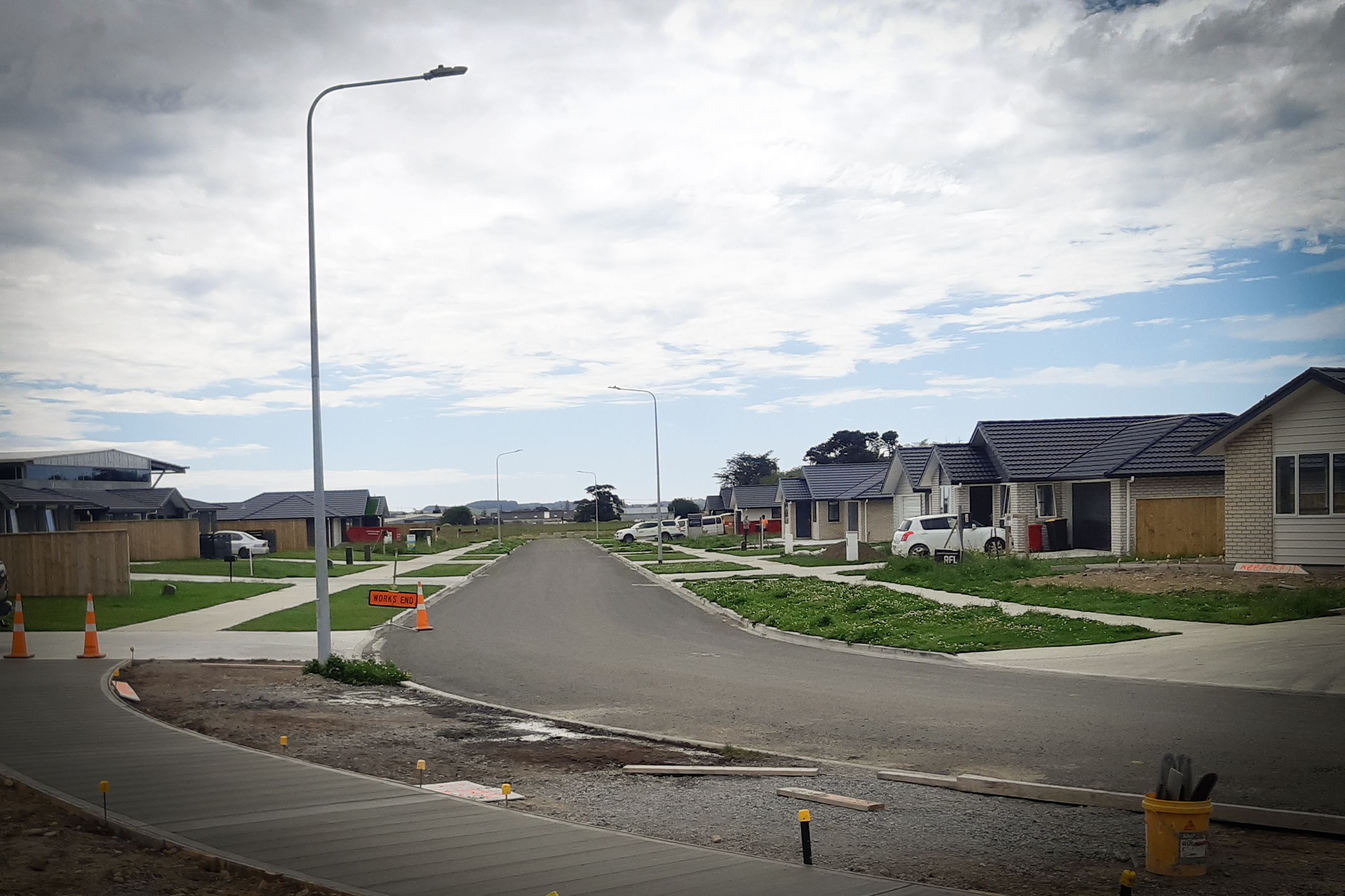
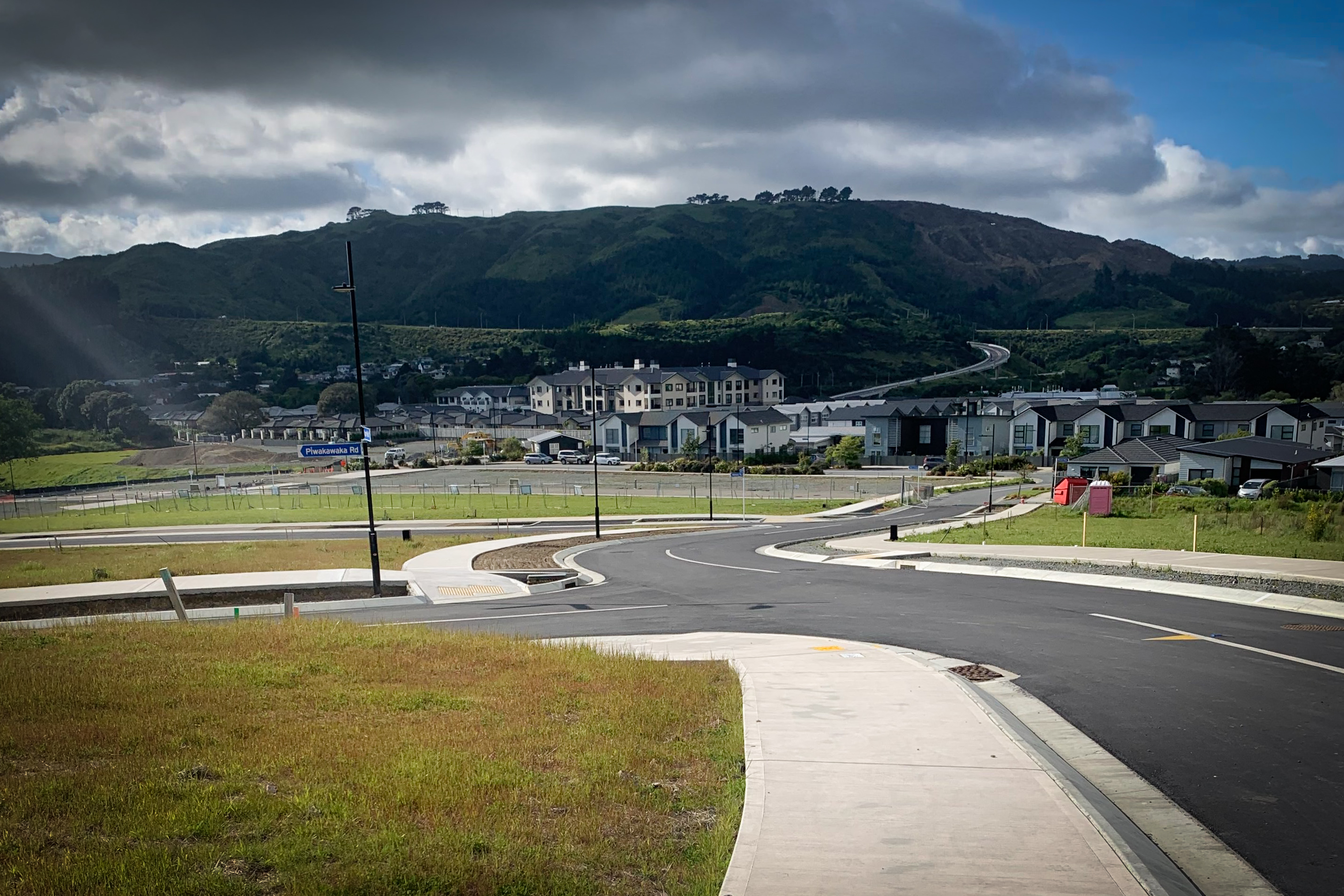
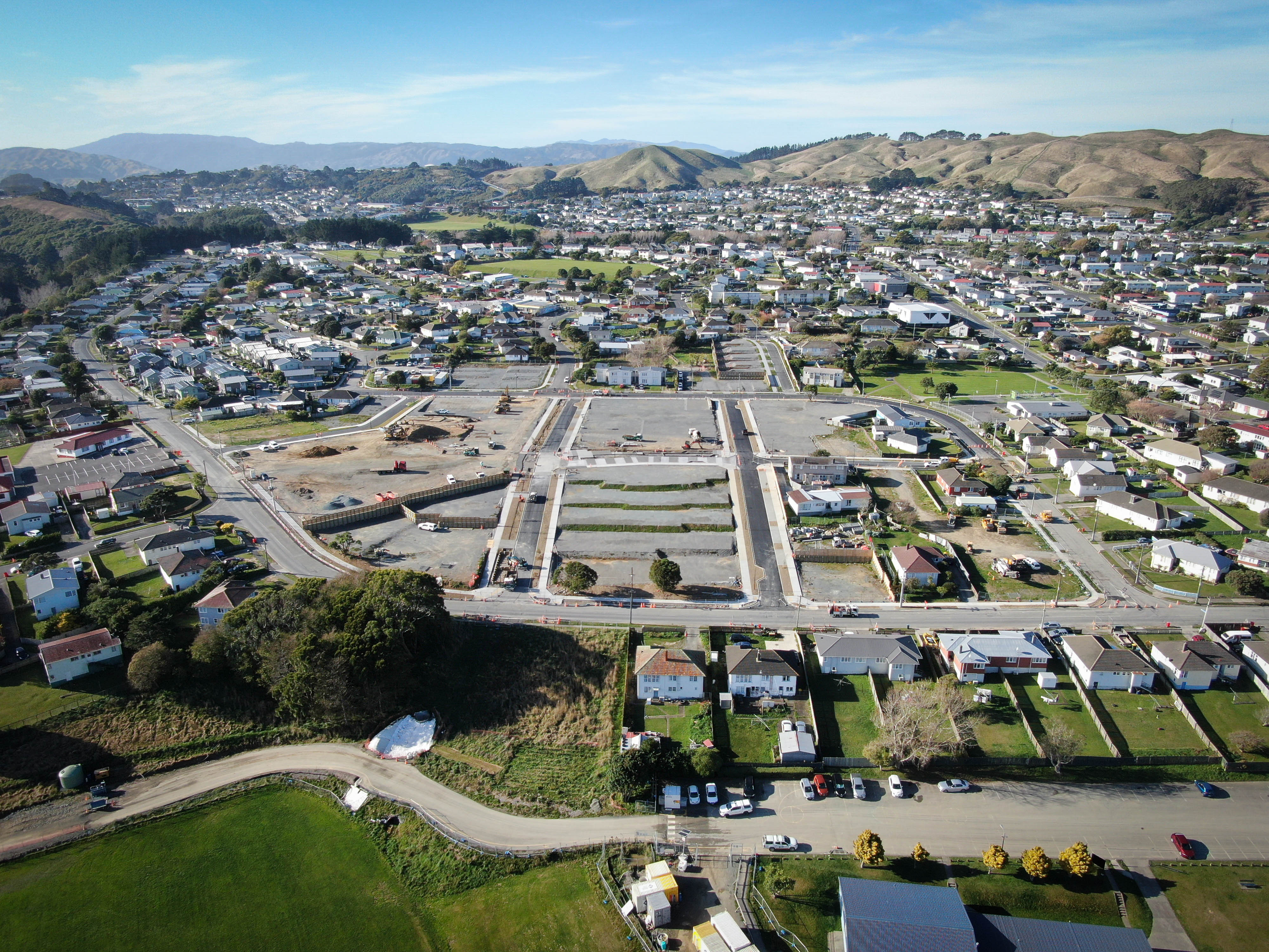
Protect people and assets. Flood modelling identifies how deep and far floodwaters can reach in extreme events - so we can design your development to keep homes, roads, and infrastructure safe.

Achieve regulatory approval. Councils require rigorous flood hazard assessments for projects in flood zones. Our studies demonstrate that your project won't worsen flooding elsewhere - satisfying regional and district plan rules and smoothing the path to resource consent.

Inform smart design. Accurate flood models let us test scenarios in the planning phase - so we can see the effects of raising ground levels, adding culverts, or creating detention areas before anything is built. It's cheaper to get it right on paper first.

Future-proof against climate change. We include future climate scenarios - increased rainfall intensity and sea level rise - to ensure your development remains resilient for decades to come.

Client feedback
"Orogen rate a particular mention; their responsiveness, attention to detail and collaboration is reflected in the quality of work put forward."
Kevin Beaver, General Manager - Woodridge Homes.
Flood Modelling

FAQ

Every site is different and there can be a lot of moving parts, but the questions are often the same. Here's what clients ask us most.
Talk to Us
What is flood modelling?

Flood modelling uses specialist hydraulic software to simulate how water moves through a catchment and across a site during a design storm event. It predicts flood levels, flood extents, and flow velocities, which informs development layout, floor level requirements, and infrastructure design.

When is flood modelling required for a development project?

Flood modelling is required when a site is in or near a flood-prone area, when the council's hazard maps show a flood constraint on the site, when a resource consent condition requires it, or when the development is large enough that its effect on the receiving stormwater network needs to be quantified.

What tools does Orogen use for flood modelling?

We use industry-standard tools including SWMM, HEC-RAS, and InfoWorks ICM depending on the complexity of the modelling required. Model selection is based on the catchment characteristics, the required outputs, and the council's preferences.

What does flood modelling tell me about my development site?

It tells you the predicted flood level on the site for the design return period (typically 1-in-100-year), whether your proposed development encroaches on the flood plain, what floor level you need to build to, and whether your development will affect flood levels on neighbouring properties.

How does flood modelling affect floor level requirements?

If the flood model shows that the design flood level on your site exceeds the minimum floor level set in the district plan, you will need to raise your floor level to provide the required freeboard above the flood level. Orogen's modelling provides the specific flood level data that feeds into your building designer's floor level calculation.

Can flood modelling show the effect of my development on neighbouring properties?

Yes. Orogen models the pre- and post-development flood extents and levels to demonstrate that the development does not increase flood risk on neighbouring land. This is a common resource consent requirement for developments in or near flood plains.

How long does a flood modelling study take?

A straightforward site-level assessment might take one to two weeks. A complex catchment-wide model for a large development can take four to eight weeks. We will give you a clear timeframe and scope when you contact us.

If your project requires flood modelling, or if you have land with potential flood hazards - talk to us. We'll provide a clear, technically sound strategy to keep your development compliant and protected.
Contact Us