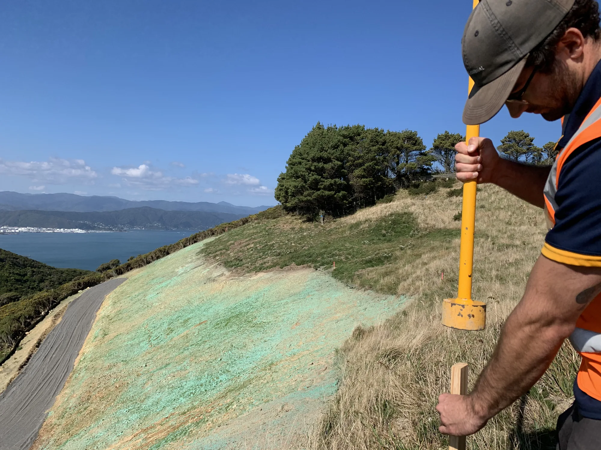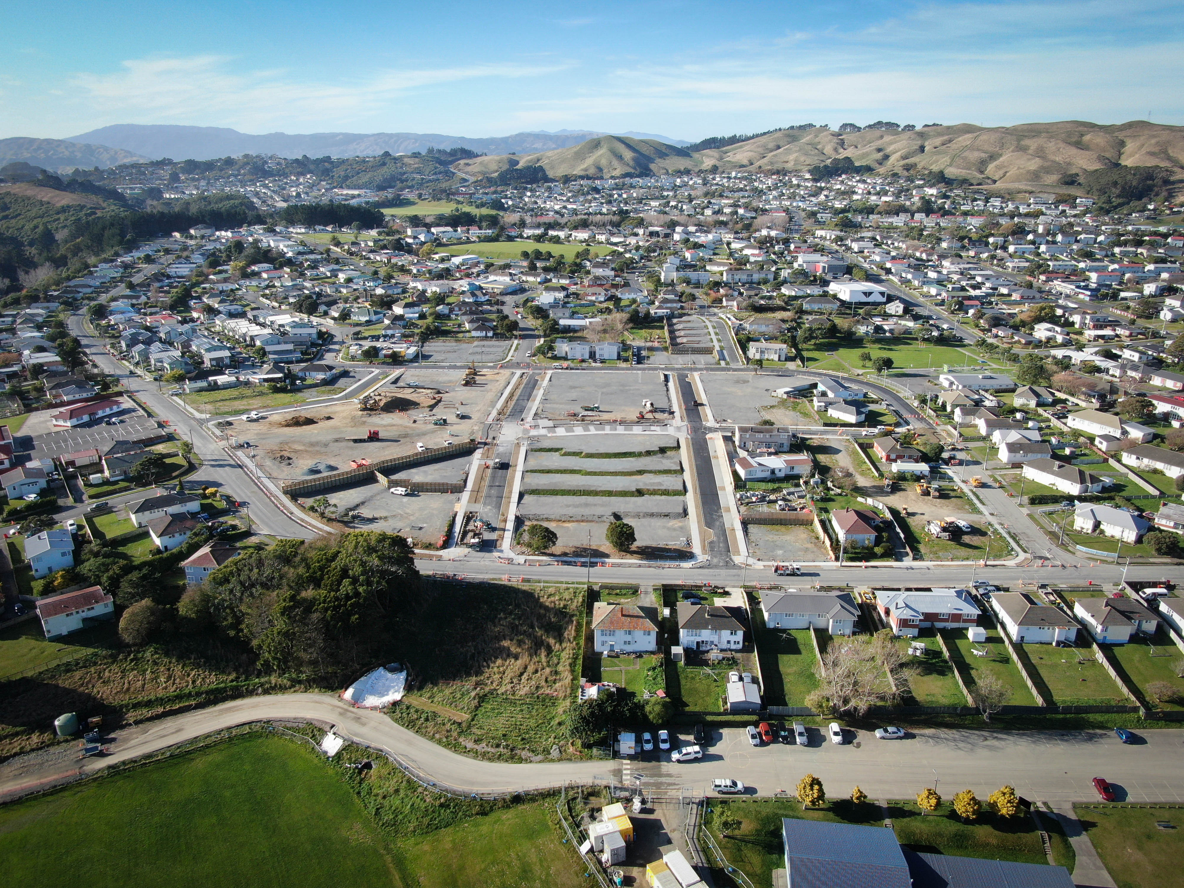
Civil works setout marks out the key positions for infrastructure elements road centrelines, kerb lines, stormwater and sewer pipes, manholes, retaining wall extents, and lot boundaries for earthworks. It gives contractors precise reference points so every component ends up in the right place at the right level.
Civil construction involves many interconnected elements that must fit together precisely. A stormwater pipe must connect to a manhole at the correct invert level. A new road must tie into the existing network at the right alignment and grade. Poorly set out civil works cause alignment issues, drainage problems, and rework at a cost that far exceeds the survey that should have preceded it.
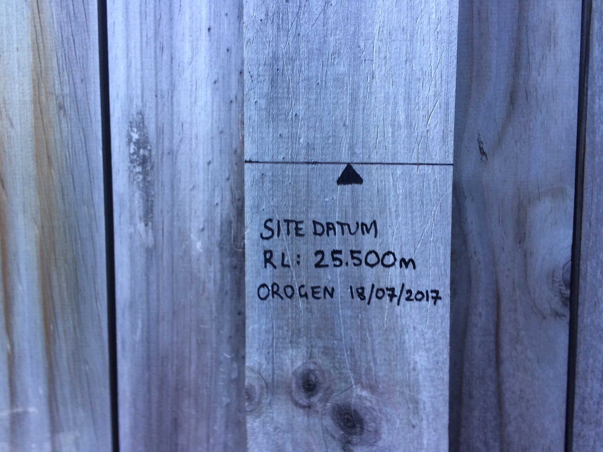
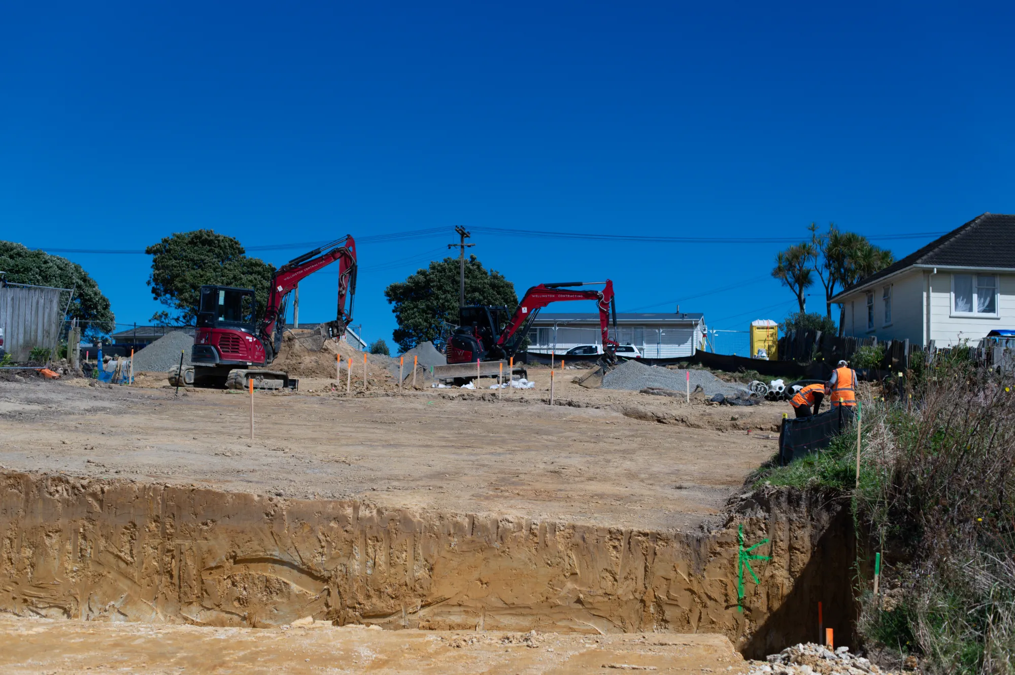
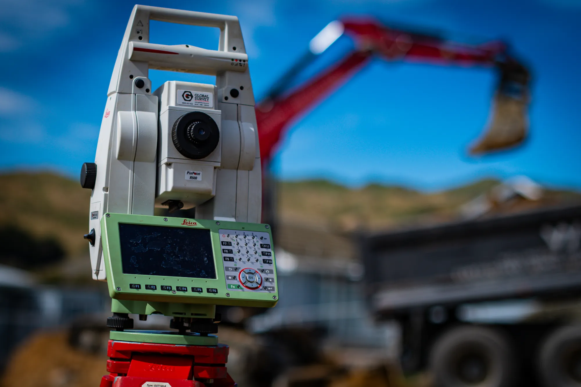
We load engineering drawings into our instruments and calculate the coordinates of all key points; manhole centres, road curve tangents, lot corners, and pipe invert levels. On site, we place pegs, stakes, or paint marks at these positions, with offset lines so formwork goes in cleanly. We mark critical elevations with profiles showing finished grades for the contractor to reference. When our own engineering team prepared the drawings, setout is even more seamless. We understand the design intent from the inside, which means field queries get resolved quickly rather than waiting for an external response.