Roading Design

Road geometry, structure, and drainage design for developments from private access ways to arterial roads, meeting New Zealand and local authority standards.
Talk to Us
This is some text inside of a div block.

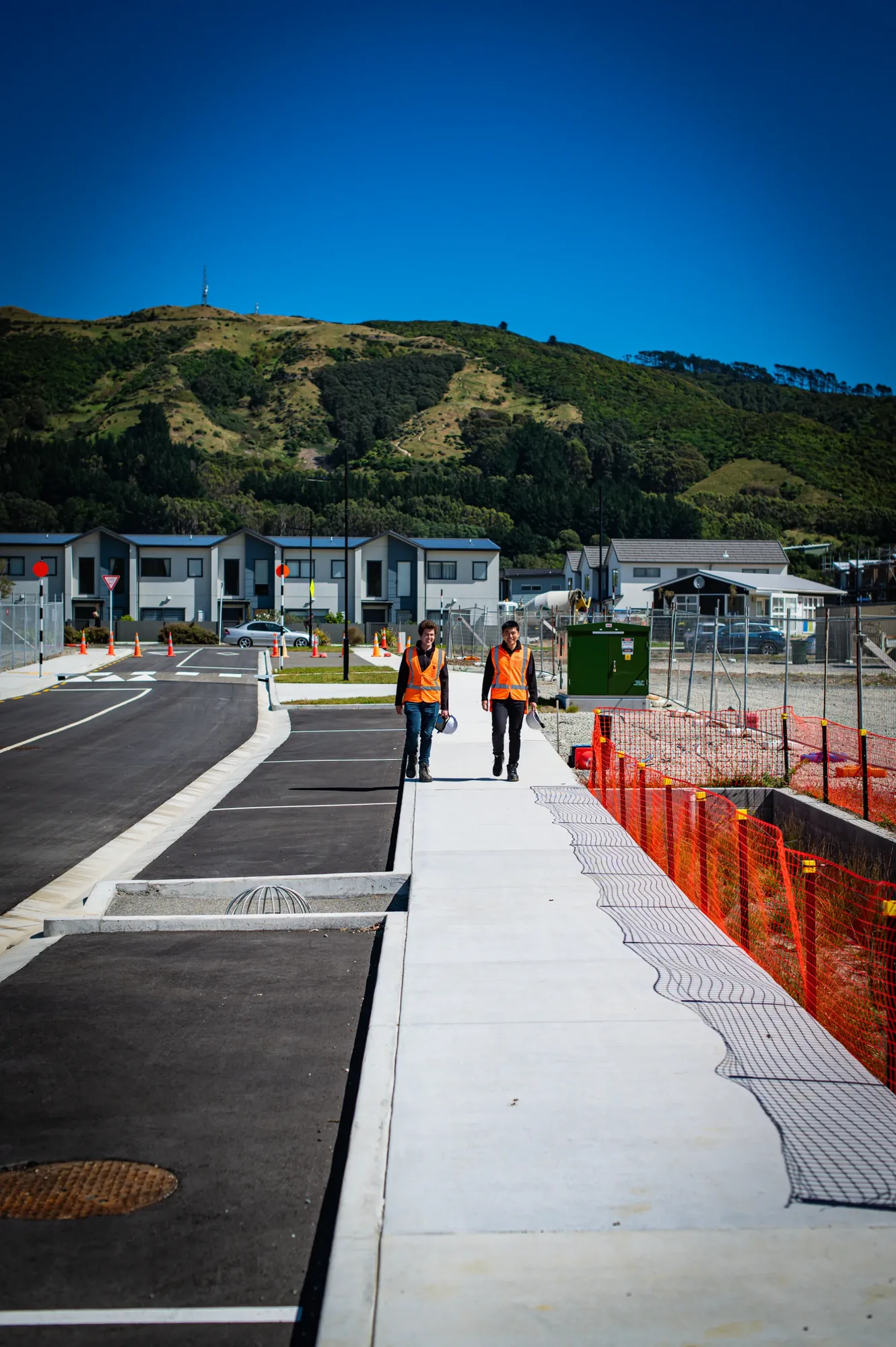
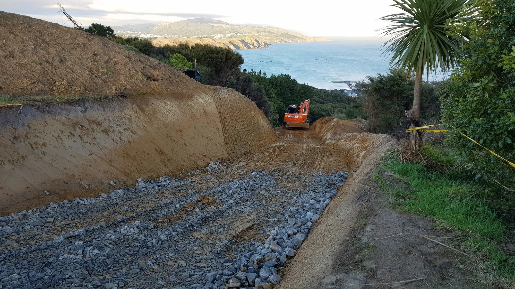
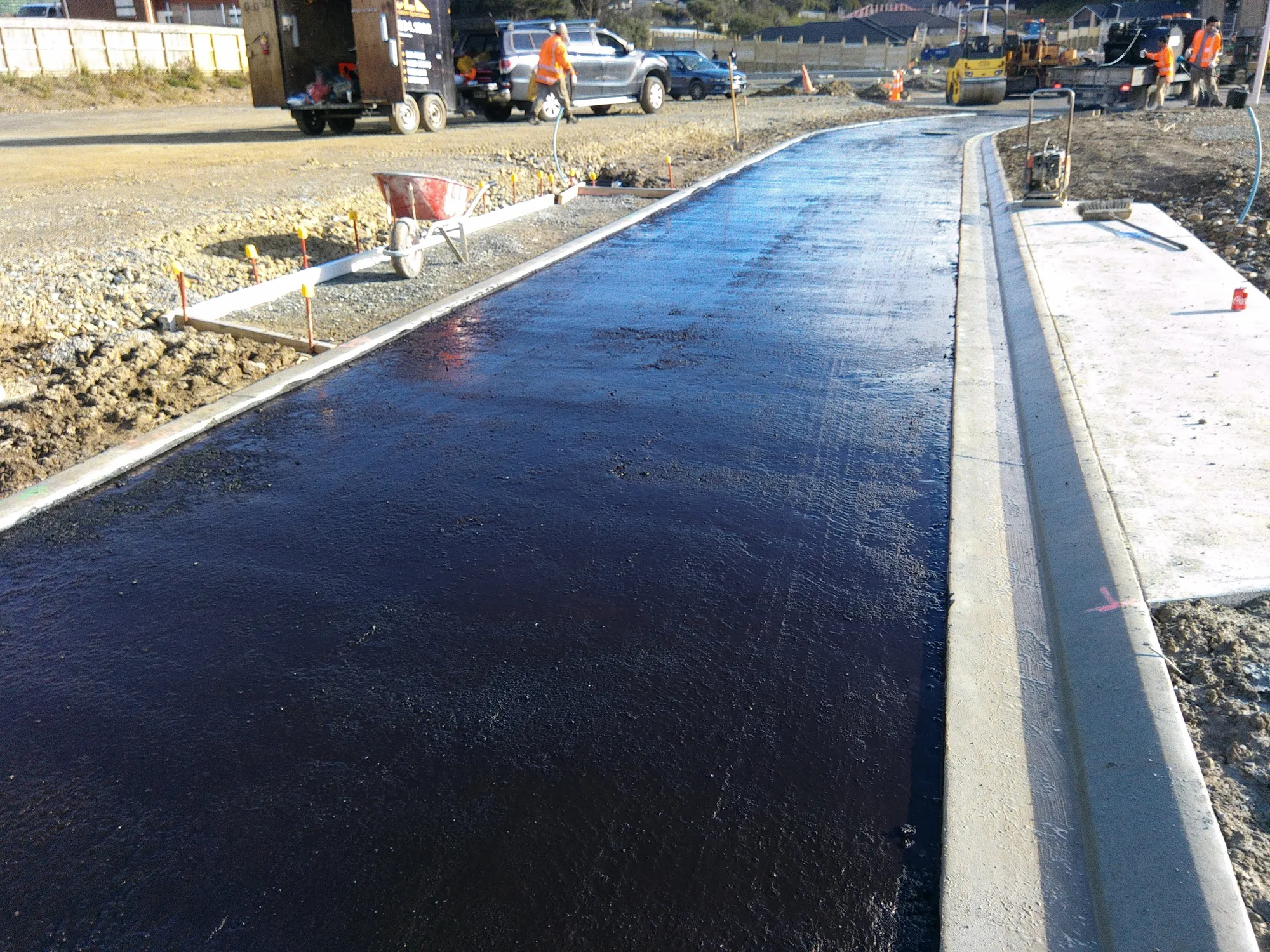
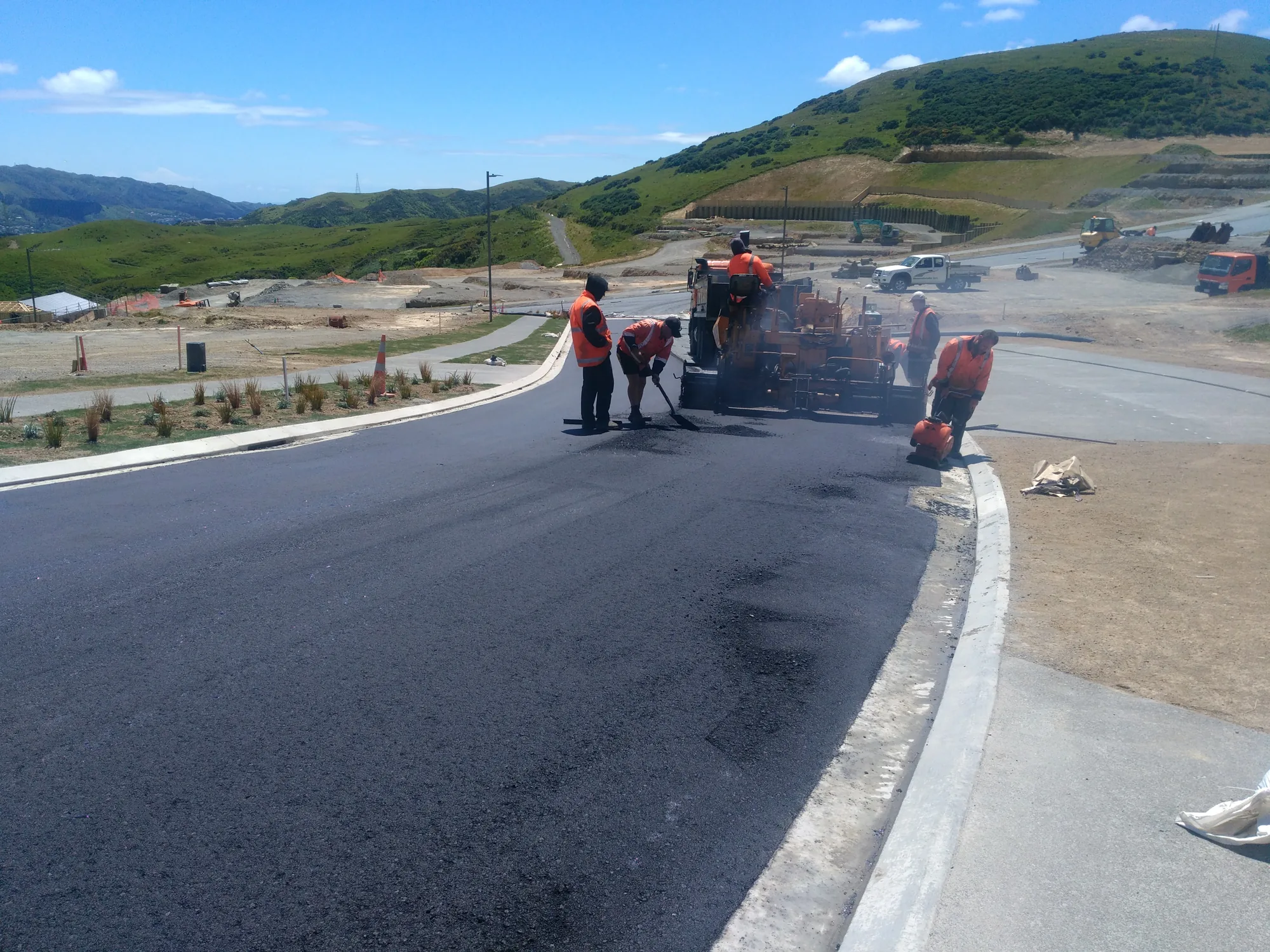
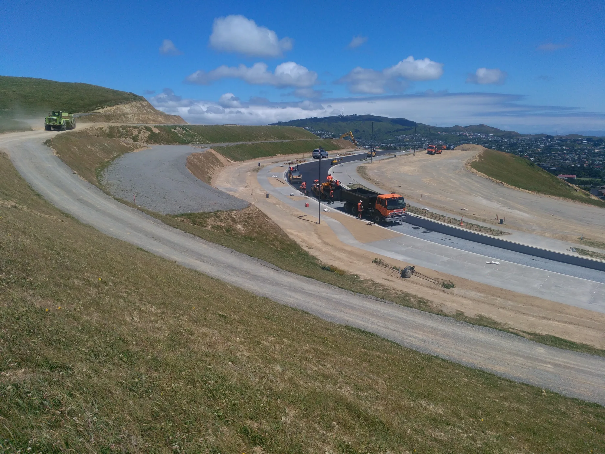
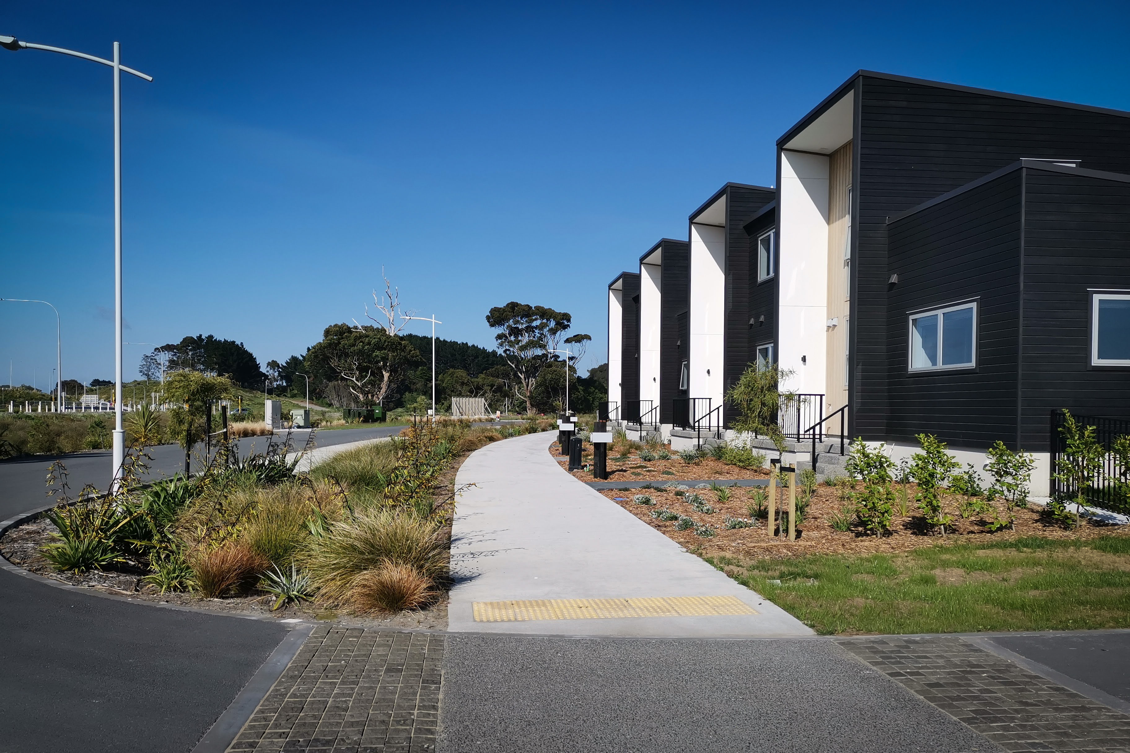
Roading design covers the geometry, structure, and drainage of roads within a development - from private access ways serving a handful of lots to arterial roads vesting in council. It includes horizontal and vertical alignment design, pavement structure design, intersection geometry, and the preparation of road drawings for engineering approval and construction.

Roads must meet council standards for geometry, grade, sight distance, and pavement depth - and those standards are non-negotiable for vesting. Designs that fall short are rejected at engineering approval stage, causing delays and redesign costs. Roads built to underspecified pavements fail early, creating defect liability that remains with the developer. Getting the design right from the start avoids both problems - and a road that passes first time keeps your development programme on track.

We design roads to both New Zealand and local authority standards, while also considering wider guidance as applcaible such as the New Zealand Transport Agency's geometric design guidelines.  We draw on geotechnical investigation data to specify appropriate pavement depths and materials. We prepare long-sections, cross-sections, and plan layouts suited to construction - not just compliance checking. For intersections with the public road network, we coordinate with the relevant transport authority and manage any required traffic safety assessments. There are no one-size-fits-all pavement designs here: specifications reflect what the ground data says, so the road performs as designed for its full-service life.

20180713 082104
IMG 20180714 102334
IMG 20171116 123305
IMG 20171116 122454
Client feedback
"Orogen rate a particular mention; their responsiveness, attention to detail and collaboration is reflected in the quality of work put forward."
Kevin Beaver, General Manager - Woodridge Homes.
Roading Design

FAQ

Every site is different and there can be a lot of moving parts, but the questions are often the same. Here's what clients ask us most.
Talk to Us
What does roading design involve for a subdivision?

Roading design establishes the horizontal and vertical alignment of new roads, their carriageway width, kerb and channel details, footpath layout, turning areas, and connections to the existing network. It must meet the council's roading standards and provide safe, functional access to all lots in the subdivision.

What standards does Orogen design roads to?

Roads for council vesting are designed to the relevant council's roading standards, which typically reference the NZ Transport Agency's guidelines and the council's own engineering code of practice. Orogen's designers are familiar with the standards of each council in our operating area and stay current as those standards are updated.

What is a geometric road design and when is it needed?

A geometric road design is a detailed design that defines the exact three-dimensional alignment of a road, including horizontal curves, vertical grades, and cross-sections. It is required for any new public road or significant private road, and is the document the contractor uses to set out and construct the road.

How does Orogen balance cost-effective roading with council vesting requirements?

Councils require vested roads to meet their full adoptable standards, which are designed for long-term public use. Orogen designs to meet these standards efficiently, avoiding over-specification while also avoiding the cost of councils rejecting infrastructure that falls below standard. We understand what councils will and will not accept.

How does Orogen coordinate roading design with services, stormwater, and three waters?

Road corridors carry multiple services. Orogen coordinates the roading design with the stormwater, wastewater, and water supply designs to ensure that the service layout fits within the road reserve, that conflicts between services are resolved at the design stage, and that the construction sequence is logical.

What is a traffic impact assessment and when is one needed?

A traffic impact assessment (TIA) quantifies the traffic generated by a development and its effect on the surrounding road network. Councils require TIAs for larger developments or those that significantly increase traffic on an intersection or road. The TIA informs whether road upgrades are needed as a consent condition.

How long does roading design take for a residential subdivision?

A straightforward internal road for a small subdivision might take three to four weeks to design. A more complex road with geometric alignment, service coordination, and council pre-approval requirements might take two to three months. We will give you a firm programme based on the specific requirements of your project.

Have a roading component in your development? We'll design roads that meet the standard, pass engineering approval, and hold up once built.
Contact Us